UN/LOCODE hub · United States
USSGN
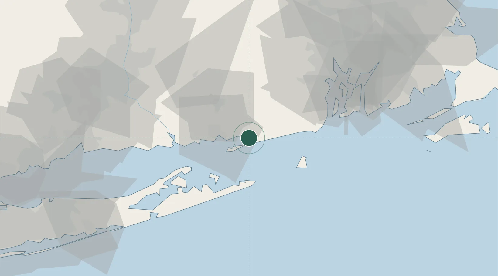
Stonington
41.3333°, -71.9000°
908
Population
4
Transport functions
Transport Functions
Port
Rail
Road
Multimodal
Hub Profile
Place type
Populated place
Region
Connecticut
Population
908
Time zone
America/New_York
Elevation
9 m
Location
Nearby Logistics Neighbours
Cities
- 1Mystic5 km
- 2Ashaway13 km
- 3Gales Ferry18 km
- 4Waterford18 km
- 5Wood River Junction21 km
Ports
- 1Mystic6 km
- 2Noank7 km
- 3New London15 km
- 4Norwich26 km
- 5Montauk Harbor30 km
Airports
- 1Westerly State Airport8 km
- 2Groton New London Airport12 km
- 3Montauk Airport29 km
- 4Block Island State Airport33 km
- 5Quonset State Airport50 km
Trade Zones
DatabookThe Record of Consolidated Knowledge
United States beyond logistics?