Channel & Berth Profile
Pilotage, Tugs & Services
Pilotage compulsoryYES
Tug assistanceNO
Salvage tugsNO
Potable waterYES
Diesel bunkersYES
MedicalYES
Facilities & Capabilities
Container—
Ro-Ro—
Liquid bulk—
Dry bulk—
Oil terminal—
Break bulk—
Dry dock—
Repairs—
Bunkering—
Rail linkYES
Dangerous cargo—
ISPS security—
Harbour Specifications
Harbour size
Very Small
Harbour type
Coastal (Breakwater)
Shelter
Good
Water body
North Atlantic Ocean
Tidal range
0.6 m
Overhead limit
No
Pilotage
Yes
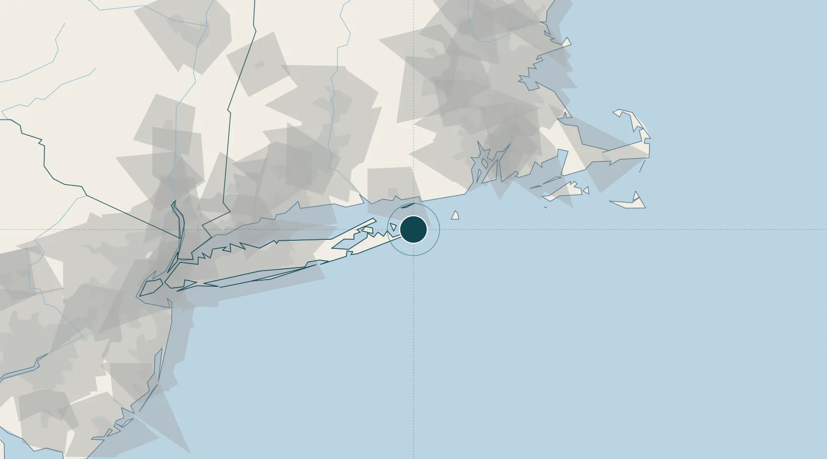
Location
Nearby Logistics Neighbours
Ports
- 1Noank28 km
- 2Stonington30 km
- 3Mystic32 km
- 4New London34 km
- 5Greenport37 km
Cities
- 1Amagansett21 km
- 2Stonington30 km
- 3Sag Harbor31 km
- 4Mystic32 km
- 5North Haven32 km
Airports
- 1Montauk Airport2 km
- 2Groton New London Airport31 km
- 3Block Island State Airport32 km
- 4Westerly State Airport33 km
- 5Quonset State Airport73 km
Trade Zones
DatabookThe Record of Consolidated Knowledge
United States beyond logistics?