Transport Functions
Rail
Road
Multimodal
Hub Profile
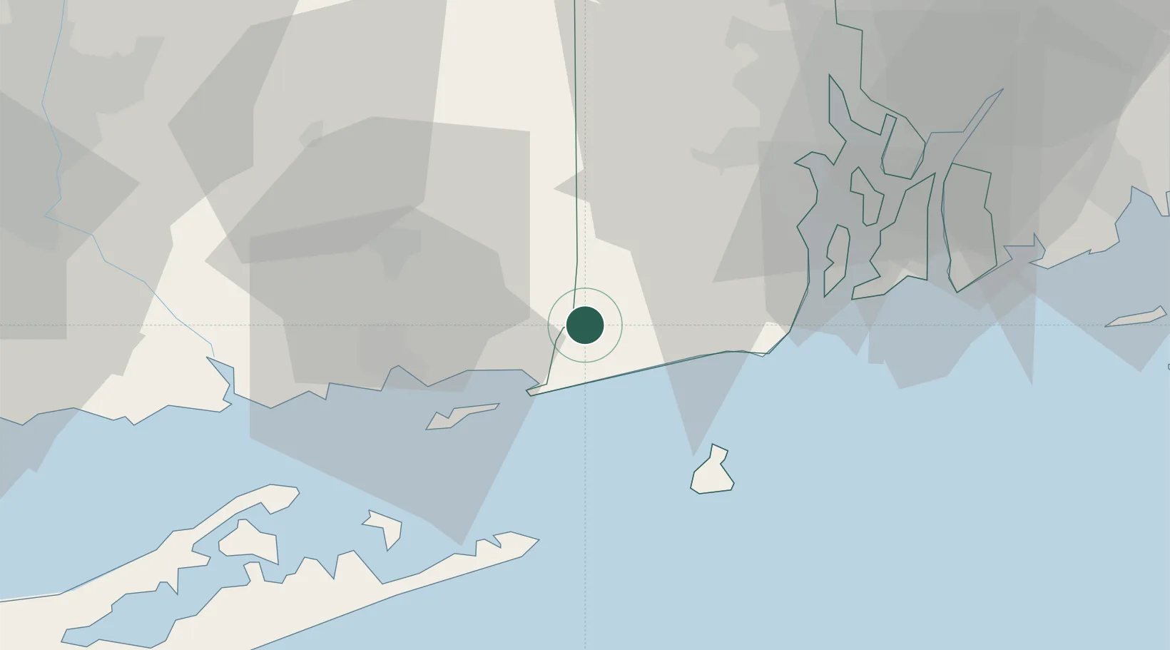
Place type
Populated place
Region
Rhode Island
Population
1,485
Time zone
America/New_York
Elevation
19 m
Location
Nearby Logistics Neighbours
Cities
- 1Wood River Junction9 km
- 2Carolina10 km
- 3Stonington13 km
- 4Mystic16 km
- 5West Kingston21 km
Ports
- 1Stonington13 km
- 2Mystic17 km
- 3Noank20 km
- 4New London26 km
- 5Norwich27 km
Airports
- 1Westerly State Airport8 km
- 2Groton New London Airport24 km
- 3Block Island State Airport33 km
- 4Quonset State Airport37 km
- 5Montauk Airport40 km
Trade Zones
DatabookThe Record of Consolidated Knowledge
United States beyond logistics?