Transport Functions
Rail
Road
Hub Profile
Place type
Populated place
Region
Illinois
Population
592
Time zone
America/Chicago
Elevation
208 m
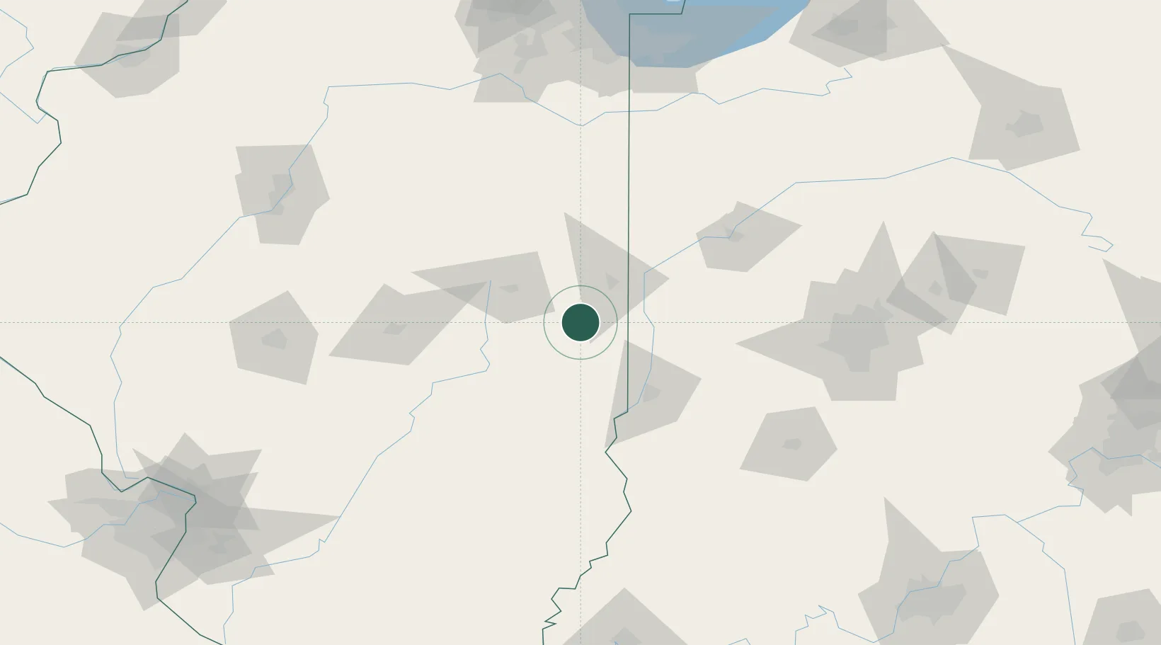
Location
Nearby Logistics Neighbours
Cities
- 1Georgetown, Fayette17 km
- 2Longview21 km
- 3Fithian25 km
- 4Ogden25 km
- 5Murdock25 km
Ports
- 1Gary195 km
- 2Indiana Harbor199 km
- 3Calumet Harbor205 km
- 4Michigan City218 km
- 5Chicago221 km
Airports
Trade Zones
- 1FTZ No. 245 Decatur106 km
- 2FTZ No. 072 Indianapolis130 km
- 3FTZ No. 114 Peoria174 km
- 4FTZ No. 152 Burns Harbor199 km
- 5FTZ No. 177 Evansville212 km
DatabookThe Record of Consolidated Knowledge
United States beyond logistics?