Transport Functions
Rail
Road
Hub Profile
Place type
Populated place
Region
Illinois
Time zone
America/Chicago
Elevation
196 m
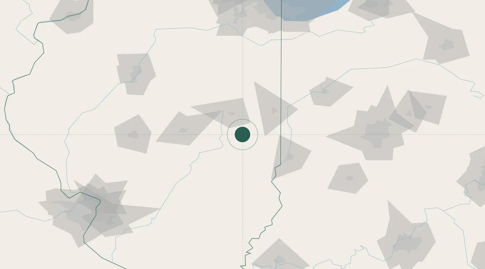
Location
Nearby Logistics Neighbours
Cities
- 1Longview9 km
- 2Sidell25 km
- 3Saint Joseph34 km
- 4Ogden35 km
- 5Fithian40 km
Ports
- 1Gary212 km
- 2Indiana Harbor215 km
- 3Calumet Harbor220 km
- 4Chicago235 km
- 5Michigan City237 km
Airports
Trade Zones
- 1FTZ No. 245 Decatur84 km
- 2FTZ No. 072 Indianapolis152 km
- 3FTZ No. 114 Peoria162 km
- 4FTZ No. 177 Evansville205 km
- 5FTZ No. 152 Burns Harbor217 km
DatabookThe Record of Consolidated Knowledge
United States beyond logistics?