UN/LOCODE hub · United States
USMC7

Mouthcard

37.3833°, -82.2500°
2
Transport functions

Transport Functions

Road
Multimodal
UN/LOCODE

Hub Profile

Place type
Populated place
GeoNames
Region
Kentucky
GeoNames
Time zone
America/New_York
GeoNames
Elevation
257 m
GeoNames

Location

Location of USMC7
Natural Earth 10m (public domain) · Kentucky · USMC7 · 37.38, -82.25GoogleOSMYandex

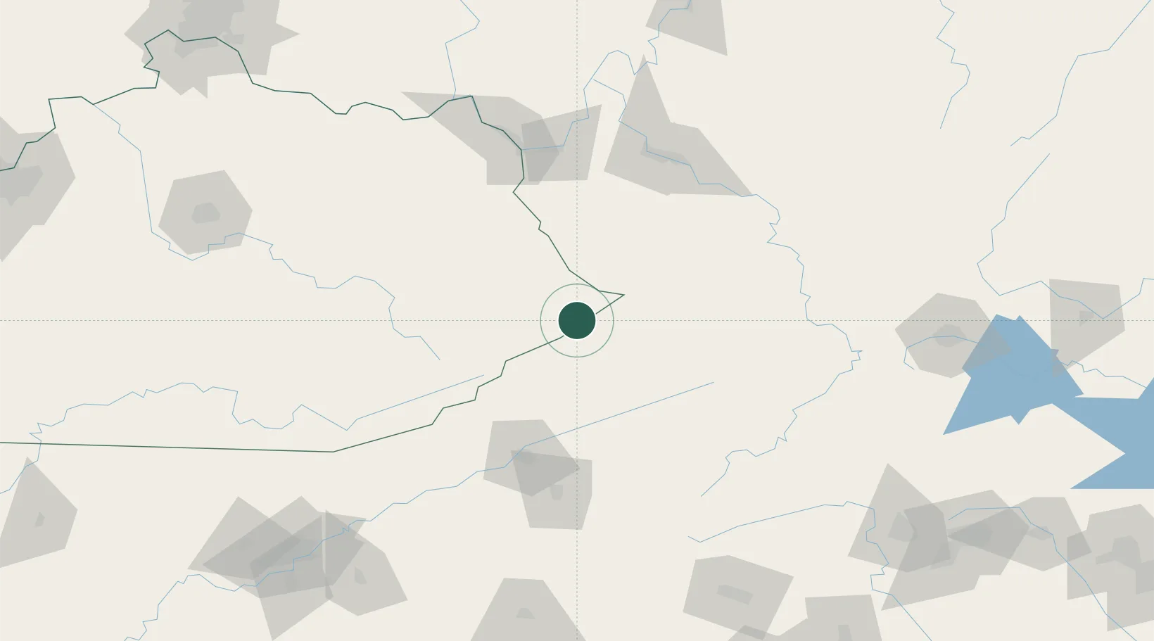
Nearby Logistics Neighbours

Cities
  1. 1Big Rock6 km
  2. 2Sidney27 km
  3. 3Harold38 km
  4. 4Roderfield48 km
  5. 5Martin49 km
Nearest neighbours — logibook spatial index (haversine) over the source coordinates
Ports
  1. 1Huron447 km
  2. 2Vermilion451 km
  3. 3Sandusky454 km
  4. 4Lorain454 km
  5. 5Cleveland460 km
Nearest neighbours — logibook spatial index (haversine) over the source coordinates
Airports
  1. 1Mercer County Airport93 km
  2. 2Julian Carroll Airport97 km
  3. 3Tri-Cities Regional TN/VA Airport102 km
  4. 4Raleigh County Memorial Airport109 km
  5. 5Tri-State Airport / Milton J. Ferguson Field113 km
Nearest neighbours — logibook spatial index (haversine) over the source coordinates
Trade Zones
  1. 1FTZ No. 204 Tri-Cities101 km
  2. 2FTZ No. 229 Charleston117 km
  3. 3FTZ No. 238 Dublin141 km
  4. 4FTZ No. 230 Piedmont Triad Area229 km
  5. 5FTZ No. 148 Knoxville235 km
Nearest neighbours — logibook spatial index (haversine) over the source coordinates
DatabookThe Record of Consolidated Knowledge
United States beyond logistics?
Browse databook

All Sources

LocationsUN/LOCODE
UN/LOCODE — free
Portsthe NGA World Port Index
Public domain (US gov)
AirportsOurAirports
Public domain
Trade Zonesthe World Bank SEZ database
CC BY 4.0
Trade ZonesOpen Zone Map
CC BY
← United States locations