Transport Functions
Road
Multimodal
Hub Profile
Place type
Populated place
Region
Texas
Population
801
Time zone
America/Chicago
Elevation
23 m
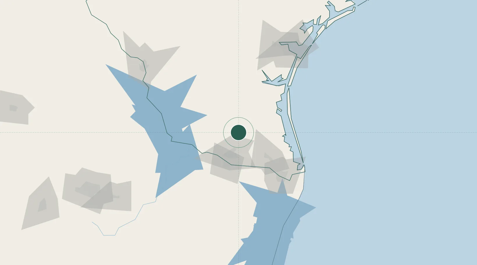
Location
Nearby Logistics Neighbours
Ports
- 1Brownsville98 km
- 2Port Isabel105 km
- 3Corpus Christi158 km
- 4Port Ingleside168 km
- 5Port Aransas178 km
Airports
Trade Zones
- 1FTZ No. 156 Weslaco45 km
- 2FTZ No. 157 Casper45 km
- 3FTZ No. 012 McAllen47 km
- 4FTZ No. 095 Starr County72 km
- 5FTZ No. 062 Brownsville97 km
DatabookThe Record of Consolidated Knowledge
United States beyond logistics?