Medium airport · Canada

John C. Munro Hamilton International AirportCYHM
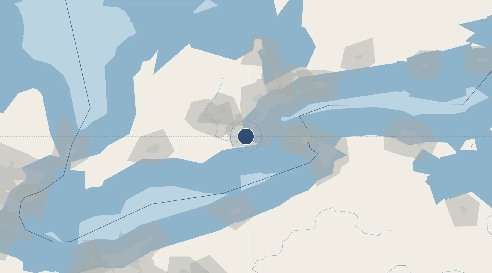
43.1735°, -79.9312°
10,006 ft
Longest runway
2
Runways
780 ft
Elevation

Runway & Layout

John C. Munro Hamilton International Airport runway & taxiway layout
Runway & taxiway layout — OpenStreetMap (ODbL) / OurAirports

Radio Frequencies

ATIS
128.1 MHz
TWR
125 MHz
GND
121.6 MHz
A/D
119.7 MHz
TORONTO TRML
OurAirports

Navaids

HM NDB Hamilton 221 kHz
ZHA NDB Ancaster 397 kHz
ZHM NDB Binbrook 266 kHz
OurAirports

Runways · 2

RunwayDimensions SurfaceTrue headingLit
12/30 10,006 × 200ft Asphalt 107°
06/24 6,010 × 150ft Asphalt 049°
OurAirports

Airport Specifications

IATA code
YHM
OurAirports
ICAO code
CYHM
OurAirports
Airport class
Medium airport
OurAirports
Scheduled service
Yes
OurAirports
Runway surface
Asphalt
OurAirports
Served city
Hamilton
OurAirports

Location

Location of CYHM
Natural Earth 10m (public domain) · Ontario · CYHM · 43.17, -79.93GoogleOSMYandex

Nearby Logistics Neighbours

Airports
  1. 1Brantford Municipal Airport34 km
  2. 2Region of Waterloo International Airport48 km
  3. 3Toronto Pearson International Airport61 km
  4. 4Niagara District Airport62 km
  5. 5Brampton-Caledon Airport65 km
Nearest neighbours — logibook spatial index (haversine) over the source coordinates
Cities
  1. 1Burlington19 km
  2. 2Caistor Centre26 km
  3. 3Grimsby30 km
  4. 4Oakville32 km
  5. 5Glen Morris36 km
Nearest neighbours — logibook spatial index (haversine) over the source coordinates
Ports
  1. 1Hamilton11 km
  2. 2Thorold20 km
  3. 3Oakville36 km
  4. 4Clarkson45 km
  5. 5Port Maitland46 km
Nearest neighbours — logibook spatial index (haversine) over the source coordinates
Trade Zones
  1. 1FTZ No. 034 Niagara County69 km
  2. 2Niagara Foreign Trade Zone72 km
  3. 3FTZ No. 023 Buffalo92 km
  4. 4FTZ No. 247 Erie119 km
  5. 5FTZ No. 141 Monroe County160 km
Nearest neighbours — logibook spatial index (haversine) over the source coordinates
DatabookThe Record of Consolidated Knowledge
Canada beyond logistics?
Browse databook

All Sources

AirportsOurAirports
Public domain
Portsthe NGA World Port Index
Public domain (US gov)
LocationsUN/LOCODE
UN/LOCODE — free
Trade Zonesthe World Bank SEZ database
CC BY 4.0
Trade ZonesOpen Zone Map
CC BY
InfrastructureOpenStreetMap
ODbL 1.0
← Canada airports