UN/LOCODE hub · United States
USNH2
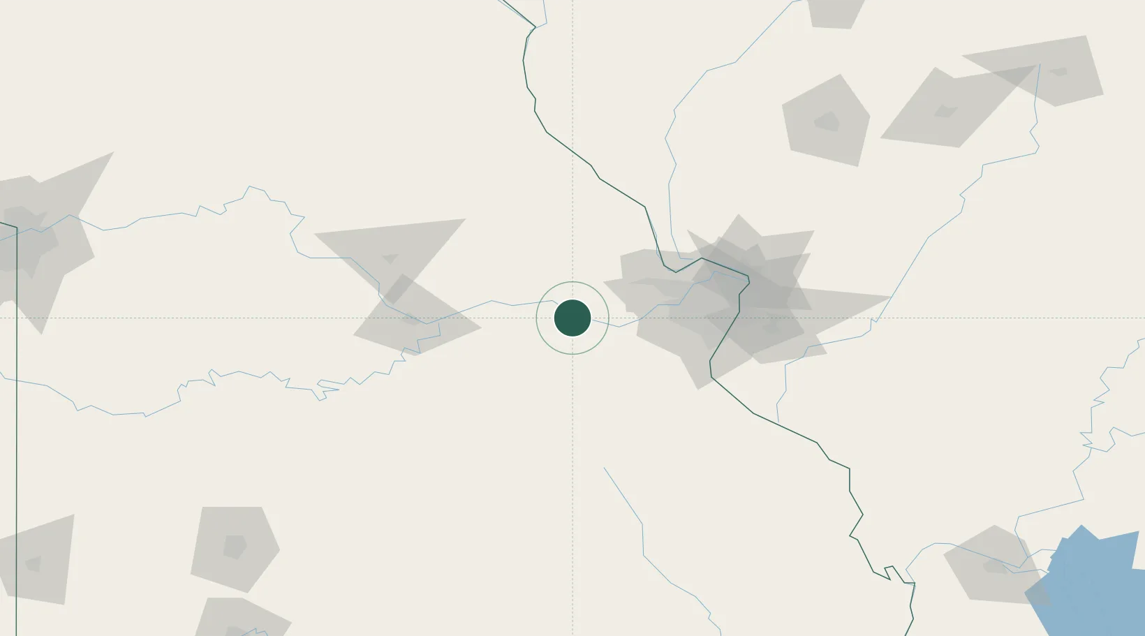
New Haven
38.6000°, -91.2167°
2,096
Population
3
Transport functions
Transport Functions
Port
Rail
Road
Hub Profile
Place type
Populated place
Region
Missouri
Population
2,096
Time zone
America/Chicago
Elevation
206 m
Location
Nearby Logistics Neighbours
Cities
- 1Marthasville15 km
- 2Dutzow20 km
- 3Hermann22 km
- 4Union, Franklin25 km
- 5Jonesburg29 km
Ports
- 1Port Of Memphis404 km
- 2Indiana Harbor469 km
- 3Calumet Harbor469 km
- 4Gary471 km
- 5Chicago477 km
Airports
Trade Zones
- 1FTZ No. 102 St. Louis County45 km
- 2FTZ No. 031 Granite City89 km
- 3FTZ No. 225 Springfield231 km
- 4FTZ No. 245 Decatur233 km
- 5FTZ No. 055 Burlington246 km
DatabookThe Record of Consolidated Knowledge
United States beyond logistics?