UN/LOCODE hub · United States
USOAK
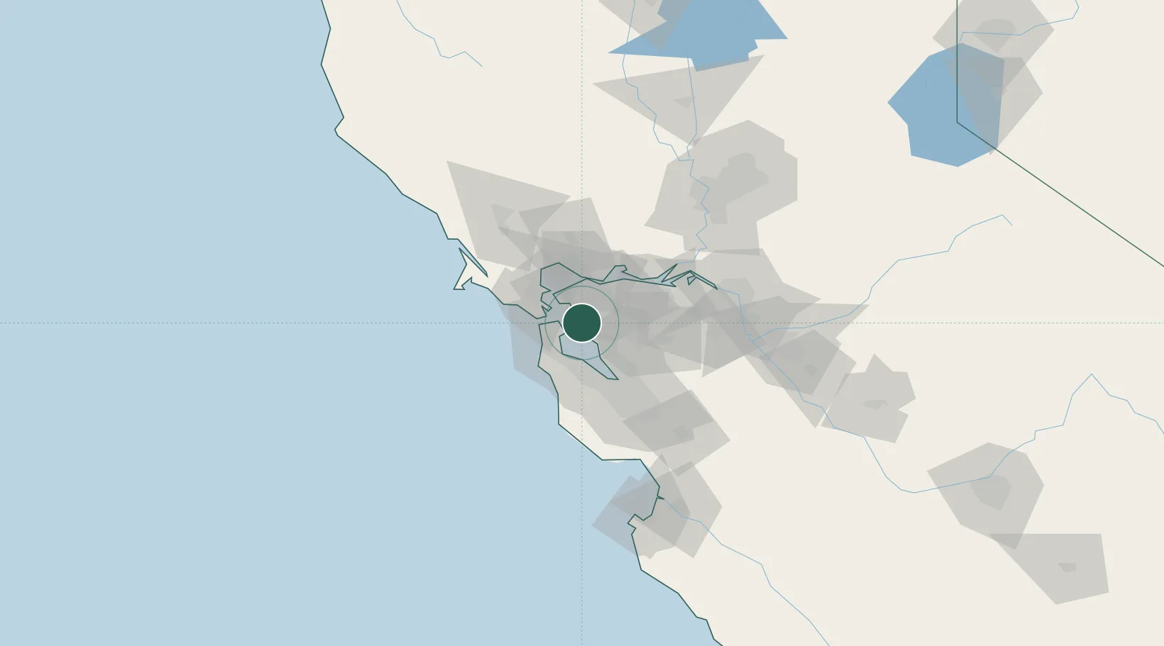
Oakland
37.7906°, -122.2564°
419,267
Population
3
Transport functions
4
Container terminals
Transport Functions
Port
Airport
Postal
Hub Profile
Place type
Provincial seat
Region
California
Population
419,267
Time zone
America/Los_Angeles
Elevation
13 m
Logistics facilities
103
Container terminals
4
Location
Nearby Logistics Neighbours
Cities
- 1Alameda2 km
- 2San Francisco9 km
- 3Kensington12 km
- 4Richmond14 km
- 5San Lorenzo17 km
Ports
- 1Alameda1 km
- 2Berkeley9 km
- 3San Francisco14 km
- 4Point Richmond17 km
- 5Sausalito21 km
Airports
Trade Zones
- 1FTZ No. 056 Oakland2 km
- 2FTZ No. 003 San Francisco12 km
- 3FTZ No. 018 San Jose60 km
- 4FTZ No. 231 Stockton84 km
- 5FTZ No. 143 West Sacramento109 km
DatabookThe Record of Consolidated Knowledge
United States beyond logistics?