UN/LOCODE hub · United States
USOWL
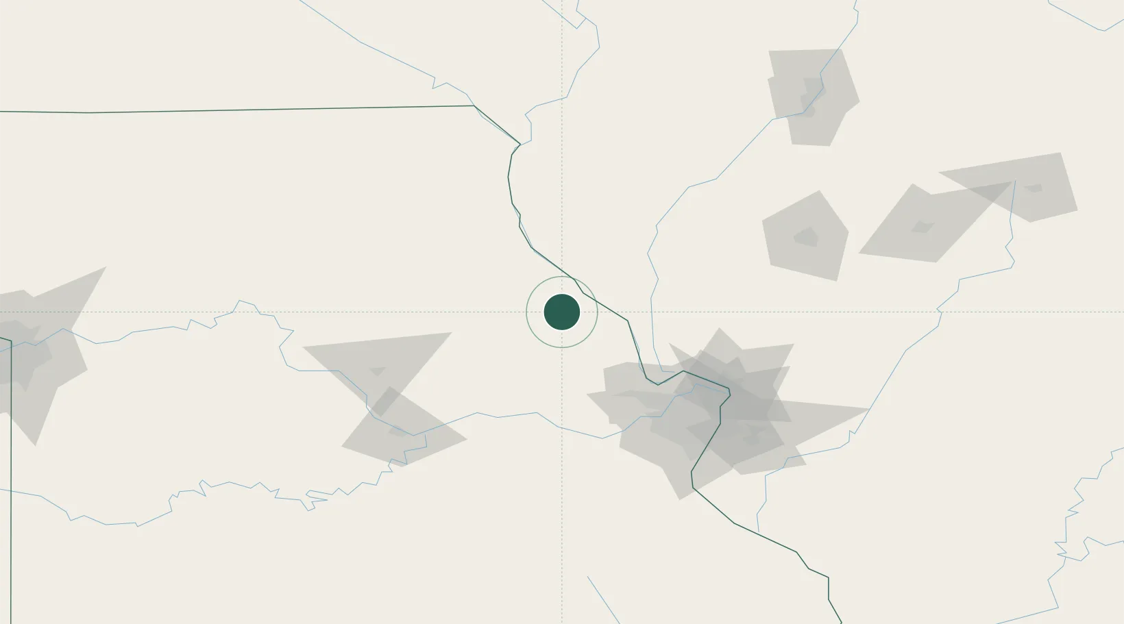
Bowling Green
39.3333°, -91.1833°
5,388
Population
2
Transport functions
Transport Functions
Rail
Road
Hub Profile
Place type
Provincial seat
Region
Missouri
Population
5,388
Time zone
America/Chicago
Elevation
272 m
Location
Nearby Logistics Neighbours
Cities
- 1Rockport27 km
- 2New London33 km
- 3Elsberry40 km
- 4Barry41 km
- 5Pittsfield44 km
Ports
- 1Calumet Harbor409 km
- 2Indiana Harbor410 km
- 3Gary413 km
- 4Chicago415 km
- 5Wilmette425 km
Airports
Trade Zones
- 1FTZ No. 102 St. Louis County87 km
- 2FTZ No. 031 Granite City107 km
- 3FTZ No. 055 Burlington164 km
- 4FTZ No. 245 Decatur191 km
- 5FTZ No. 114 Peoria203 km
DatabookThe Record of Consolidated Knowledge
United States beyond logistics?