UN/LOCODE hub · United States
USEEY
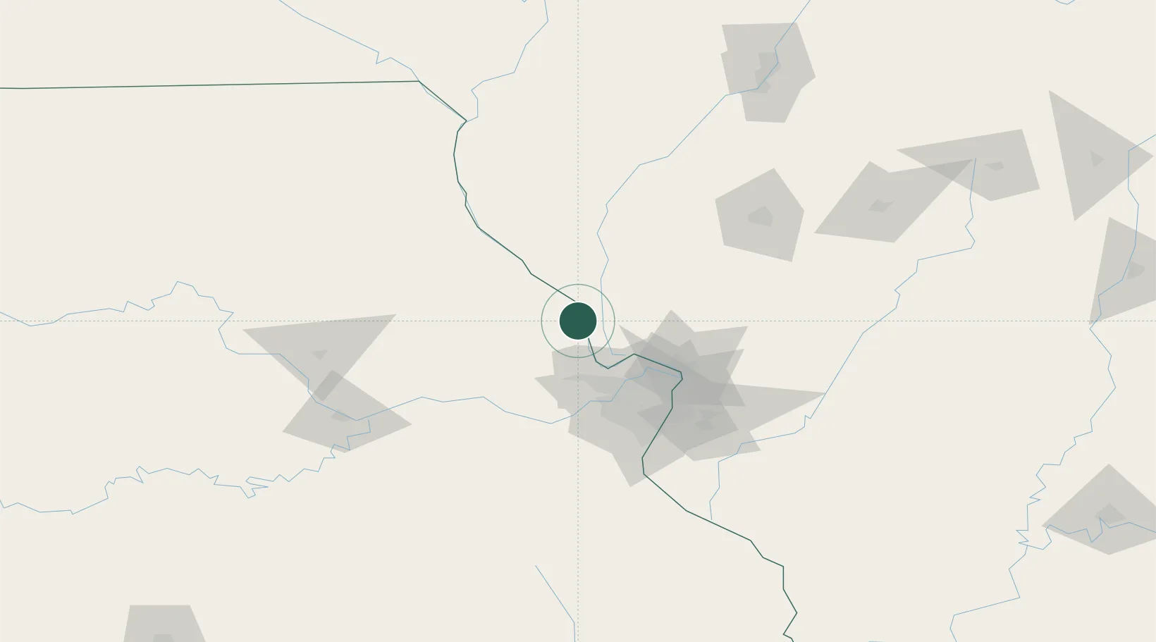
Elsberry
39.1667°, -90.7667°
1,986
Population
2
Transport functions
Transport Functions
Road
Multimodal
Hub Profile
Place type
Populated place
Region
Missouri
Population
1,986
Time zone
America/Chicago
Elevation
136 m
Location
Nearby Logistics Neighbours
Cities
- 1Moscow Mills27 km
- 2Saint Paul33 km
- 3Jerseyville38 km
- 4Bowling Green40 km
- 5Lake Saint Louis43 km
Ports
- 1Indiana Harbor396 km
- 2Calumet Harbor396 km
- 3Gary398 km
- 4Chicago404 km
- 5Wilmette416 km
Airports
Trade Zones
- 1FTZ No. 102 St. Louis County58 km
- 2FTZ No. 031 Granite City68 km
- 3FTZ No. 245 Decatur165 km
- 4FTZ No. 055 Burlington185 km
- 5FTZ No. 114 Peoria197 km
DatabookThe Record of Consolidated Knowledge
United States beyond logistics?