UN/LOCODE hub · United States
USPYB
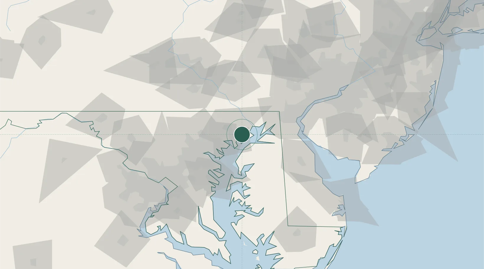
Perryman
39.4667°, -76.2000°
2,342
Population
4
Transport functions
Transport Functions
Port
Rail
Road
Multimodal
Hub Profile
Place type
Populated place
Region
Maryland
Population
2,342
Time zone
America/New_York
Elevation
13 m
Location
Nearby Logistics Neighbours
Cities
- 1Belcamp3 km
- 2Perryville16 km
- 3White Marsh19 km
- 4Forest Hill20 km
- 5Perry Hall23 km
Ports
- 1Havre De Grace13 km
- 2Baltimore40 km
- 3New Castle58 km
- 4Annapolis59 km
- 5Wilmington63 km
Airports
Trade Zones
- 1FTZ No. 074 Baltimore41 km
- 2FTZ No. 073 BWI Airport52 km
- 3FTZ No. 099 Wilmington64 km
- 4FTZ No. 142 Salem Millville93 km
- 5FTZ No. 035 Philadelphia100 km
DatabookThe Record of Consolidated Knowledge
United States beyond logistics?