Transport Functions
Port
Rail
Road
Multimodal
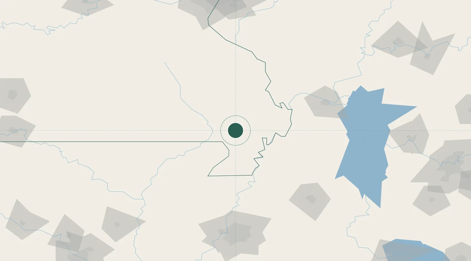
Hub Profile
Place type
Populated place
Region
Missouri
Population
1,951
Time zone
America/Chicago
Elevation
92 m
Location
Nearby Logistics Neighbours
Cities
- 1Parma15 km
- 2Bloomfield24 km
- 3Gideon25 km
- 4Morehouse31 km
- 5Matthews35 km
Ports
- 1Port Of Memphis179 km
- 2Gary595 km
- 3Indiana Harbor597 km
- 4Calumet Harbor602 km
- 5Chicago615 km
Airports
Trade Zones
- 1FTZ No. 283 West Tennessee105 km
- 2FTZ No. 294 Western Kentucky131 km
- 3FTZ No. 273 West Memphis170 km
- 4FTZ No. 223 Memphis172 km
- 5FTZ No. 077 Memphis173 km
DatabookThe Record of Consolidated Knowledge
United States beyond logistics?