Transport Functions
Rail
Road
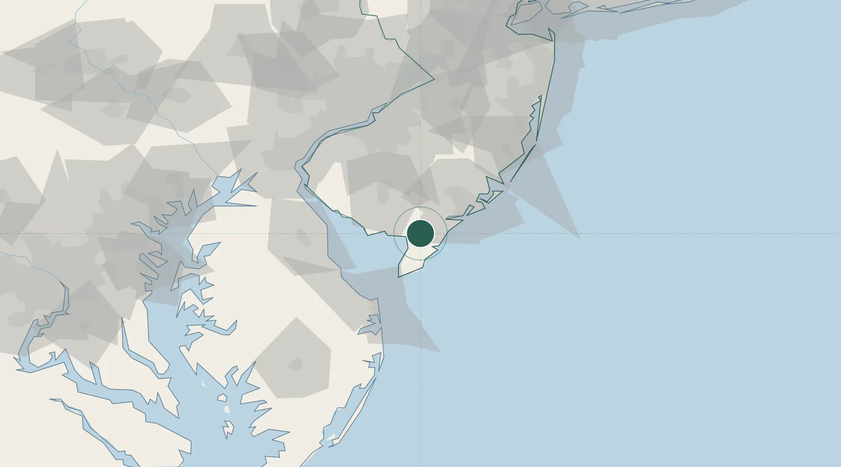
Hub Profile
Place type
Populated place
Region
New Jersey
Time zone
America/New_York
Elevation
1 m
Location
Nearby Logistics Neighbours
Cities
- 1Cape May Court House13 km
- 2Port Elizabeth17 km
- 3Port Norris19 km
- 4Rio Grande21 km
- 5Ocean City23 km
Ports
- 1Atlantic City39 km
- 2Salem Nj77 km
- 3Paulsboro81 km
- 4New Castle82 km
- 5Deepwater Point82 km
Airports
Trade Zones
- 1FTZ No. 142 Salem Millville34 km
- 2FTZ No. 099 Wilmington87 km
- 3FTZ No. 035 Philadelphia97 km
- 4FTZ No. 235 Lakewood109 km
- 5FTZ No. 200 Mercer County120 km
DatabookThe Record of Consolidated Knowledge
United States beyond logistics?