UN/LOCODE hub · United States
USZQH

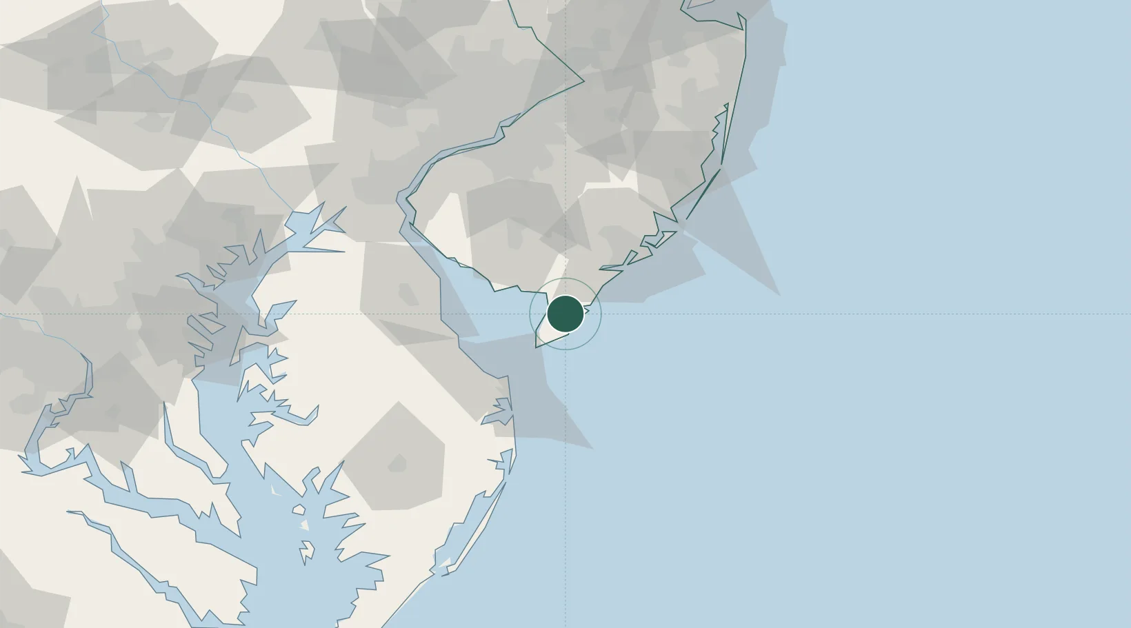
Cape May Court House

39.0833°, -74.8167°
5,338
Population
2
Transport functions

Transport Functions

Road
Multimodal
UN/LOCODE

Hub Profile

Place type
Provincial seat
GeoNames
Region
New Jersey
GeoNames
Population
5,338
GeoNames
Time zone
America/New_York
GeoNames
Elevation
4 m
GeoNames

Location

Location of USZQH
Natural Earth 10m (public domain) · New Jersey · USZQH · 39.08, -74.82GoogleOSMYandex

Nearby Logistics Neighbours

Cities
  1. 1Rio Grande9 km
  2. 2North Wildwood11 km
  3. 3Dennisville13 km
  4. 4Cape May19 km
  5. 5Port Norris25 km
Nearest neighbours — logibook spatial index (haversine) over the source coordinates
Ports
  1. 1Atlantic City47 km
  2. 2Ocean City87 km
  3. 3Salem Nj87 km
  4. 4New Castle90 km
  5. 5Deepwater Point91 km
Nearest neighbours — logibook spatial index (haversine) over the source coordinates
Airports
  1. 1Cape May County Airport12 km
  2. 2Millville Municipal Airport39 km
  3. 3Atlantic City International Airport46 km
  4. 4Dover Civil Air Terminal/Dover Air Force Base56 km
  5. 5Ocean City Municipal Airport90 km
Nearest neighbours — logibook spatial index (haversine) over the source coordinates
Trade Zones
  1. 1FTZ No. 142 Salem Millville43 km
  2. 2FTZ No. 099 Wilmington97 km
  3. 3FTZ No. 035 Philadelphia109 km
  4. 4FTZ No. 235 Lakewood121 km
  5. 5FTZ No. 200 Mercer County133 km
Nearest neighbours — logibook spatial index (haversine) over the source coordinates
DatabookThe Record of Consolidated Knowledge
United States beyond logistics?
Browse databook

All Sources

LocationsUN/LOCODE
UN/LOCODE — free
LocationsGeoNames
CC BY 4.0
Portsthe NGA World Port Index
Public domain (US gov)
AirportsOurAirports
Public domain
Trade Zonesthe World Bank SEZ database
CC BY 4.0
Trade ZonesOpen Zone Map
CC BY
← United States locations