UN/LOCODE hub · United States
USPA3
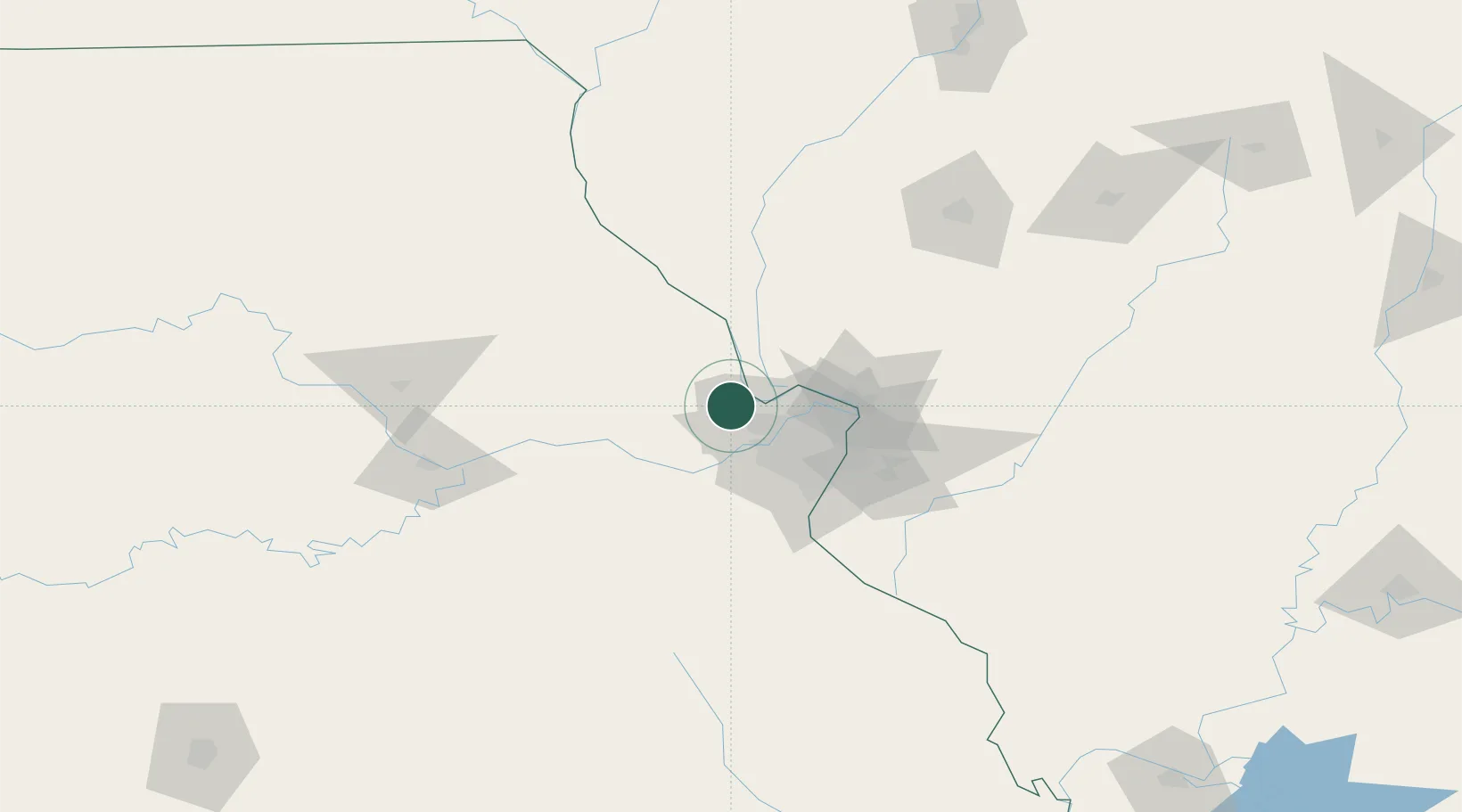
Saint Paul
38.8667°, -90.7500°
1,829
Population
2
Transport functions
Transport Functions
Road
Multimodal
Hub Profile
Place type
Populated place
Region
Missouri
Population
1,829
Time zone
America/Chicago
Elevation
157 m
Location
Nearby Logistics Neighbours
Cities
- 1Lake Saint Louis10 km
- 2Moscow Mills17 km
- 3Saint Charles21 km
- 4Defiance26 km
- 5Elsberry33 km
Ports
- 1Indiana Harbor420 km
- 2Calumet Harbor420 km
- 3Gary421 km
- 4Port Of Memphis426 km
- 5Chicago429 km
Airports
Trade Zones
- 1FTZ No. 102 St. Louis County25 km
- 2FTZ No. 031 Granite City50 km
- 3FTZ No. 245 Decatur182 km
- 4FTZ No. 055 Burlington218 km
- 5FTZ No. 114 Peoria226 km
DatabookThe Record of Consolidated Knowledge
United States beyond logistics?