UN/LOCODE hub · United States
USMM4
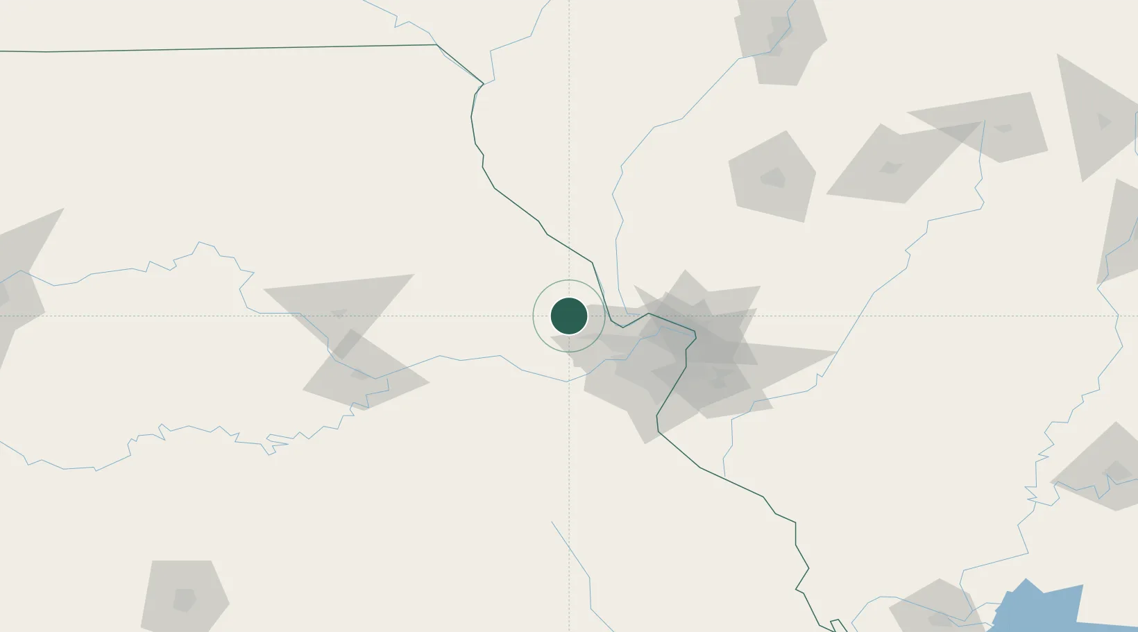
Moscow Mills
38.9500°, -90.9167°
2,567
Population
3
Transport functions
Transport Functions
Rail
Road
Multimodal
Hub Profile
Place type
Populated place
Region
Missouri
Population
2,567
Time zone
America/Chicago
Elevation
164 m
Location
Nearby Logistics Neighbours
Cities
- 1Saint Paul17 km
- 2Lake Saint Louis22 km
- 3Elsberry27 km
- 4Jonesburg35 km
- 5Marthasville37 km
Ports
- 1Indiana Harbor422 km
- 2Calumet Harbor423 km
- 3Gary425 km
- 4Chicago430 km
- 5Port Of Memphis437 km
Airports
Trade Zones
- 1FTZ No. 102 St. Louis County39 km
- 2FTZ No. 031 Granite City66 km
- 3FTZ No. 245 Decatur189 km
- 4FTZ No. 055 Burlington208 km
- 5FTZ No. 114 Peoria225 km
DatabookThe Record of Consolidated Knowledge
United States beyond logistics?