UN/LOCODE hub · United States
USS7T
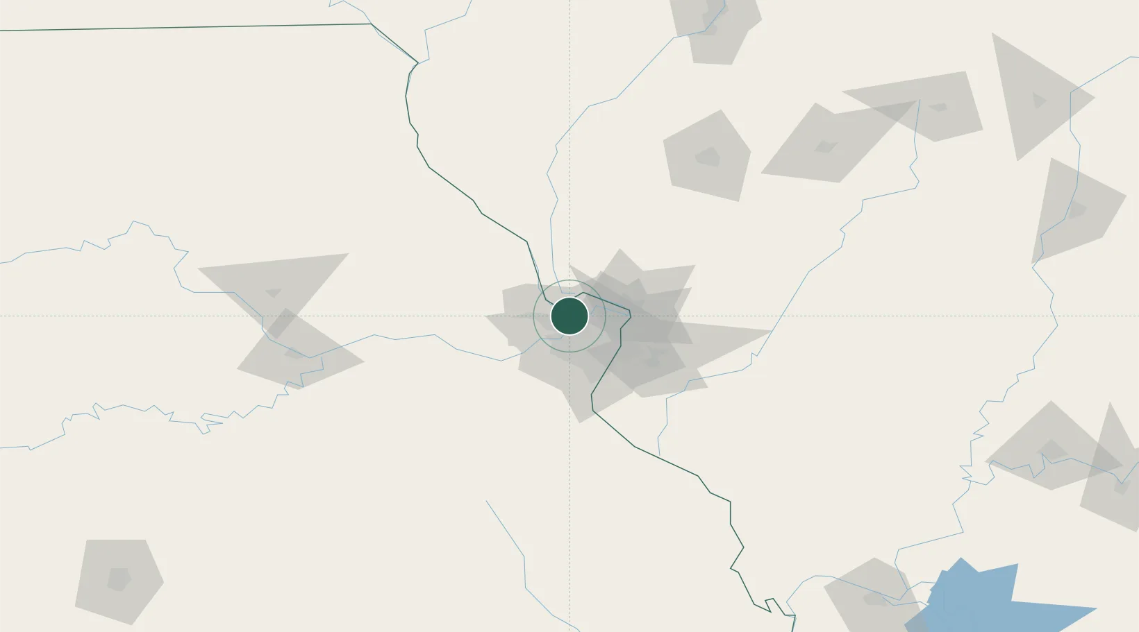
Saint Charles
38.8212°, -90.5118°
65,794
Population
1
Transport functions
Transport Functions
Port
Hub Profile
Place type
Provincial seat
Region
Missouri
Population
65,794
Time zone
America/Chicago
Elevation
147 m
Logistics facilities
1
Location
Nearby Logistics Neighbours
Cities
- 1Berkeley17 km
- 2Overland20 km
- 3Ferguson21 km
- 4Saint Paul21 km
- 5Ladue21 km
Ports
- 1Indiana Harbor410 km
- 2Calumet Harbor412 km
- 3Gary412 km
- 4Port Of Memphis419 km
- 5Chicago420 km
Airports
Trade Zones
- 1FTZ No. 102 St. Louis County26 km
- 2FTZ No. 031 Granite City28 km
- 3FTZ No. 245 Decatur170 km
- 4FTZ No. 114 Peoria223 km
- 5FTZ No. 055 Burlington227 km
DatabookThe Record of Consolidated Knowledge
United States beyond logistics?