UN/LOCODE hub · United States
USYLM
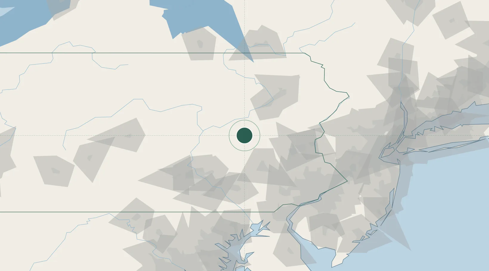
Mahanoy City
40.8167°, -76.2000°
4,070
Population
2
Transport functions
Transport Functions
Rail
Road
Hub Profile
Place type
Populated place
Region
Pennsylvania
Population
4,070
Time zone
America/New_York
Elevation
371 m
Location
Nearby Logistics Neighbours
Cities
- 1Ringtown4 km
- 2Saint Clair11 km
- 3Barnesville13 km
- 4Port Carbon15 km
- 5Marlin15 km
Ports
- 1Chester129 km
- 2Marcus Hook130 km
- 3Philadelphia132 km
- 4Camden132 km
- 5Wilmington133 km
Airports
Trade Zones
DatabookThe Record of Consolidated Knowledge
United States beyond logistics?