Transport Functions
Road
Multimodal
Hub Profile
Place type
Populated place
Region
Texas
Population
2,607
Time zone
America/Chicago
Elevation
11 m
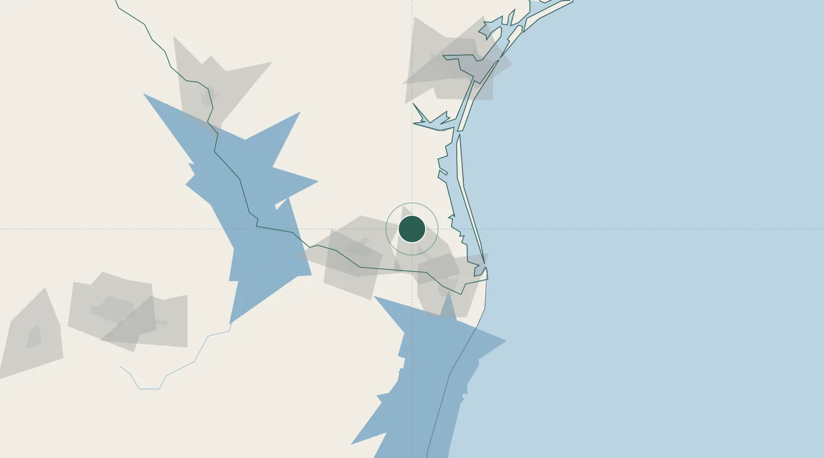
Location
Nearby Logistics Neighbours
Cities
- 1Combes20 km
- 2Linn37 km
- 3Los Indios39 km
- 4San Juan44 km
- 5Los Fresnos49 km
Ports
- 1Brownsville63 km
- 2Port Isabel68 km
- 3Corpus Christi162 km
- 4Port Ingleside168 km
- 5Port Aransas175 km
Airports
Trade Zones
- 1FTZ No. 156 Weslaco36 km
- 2FTZ No. 157 Casper36 km
- 3FTZ No. 012 McAllen56 km
- 4FTZ No. 062 Brownsville62 km
- 5FTZ No. 095 Starr County103 km
DatabookThe Record of Consolidated Knowledge
United States beyond logistics?