UN/LOCODE hub · United States
USMC4
Mineral City
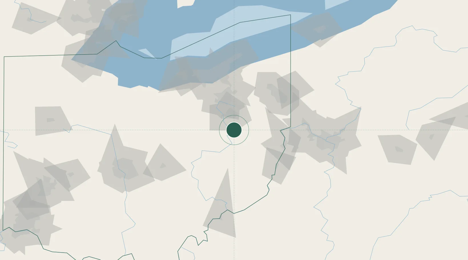
40.6000°, -81.3667°
723
Population
2
Transport functions
Transport Functions
Rail
Road
Hub Profile
Place type
Populated place
Region
Ohio
Population
723
Time zone
America/New_York
Elevation
288 m
Location
Nearby Logistics Neighbours
Cities
- 1Magnolia8 km
- 2Navarre18 km
- 3Midvale19 km
- 4Beach City19 km
- 5East Canton22 km
Airports
Trade Zones
- 1FTZ No. 181 Akron Canton51 km
- 2FTZ No. 040 Cleveland108 km
- 3FTZ No. 033 Pittsburgh113 km
- 4FTZ No. 138 Franklin County159 km
- 5FTZ No. 247 Erie199 km
DatabookThe Record of Consolidated Knowledge
United States beyond logistics?