UN/LOCODE hub · United States
USH2V
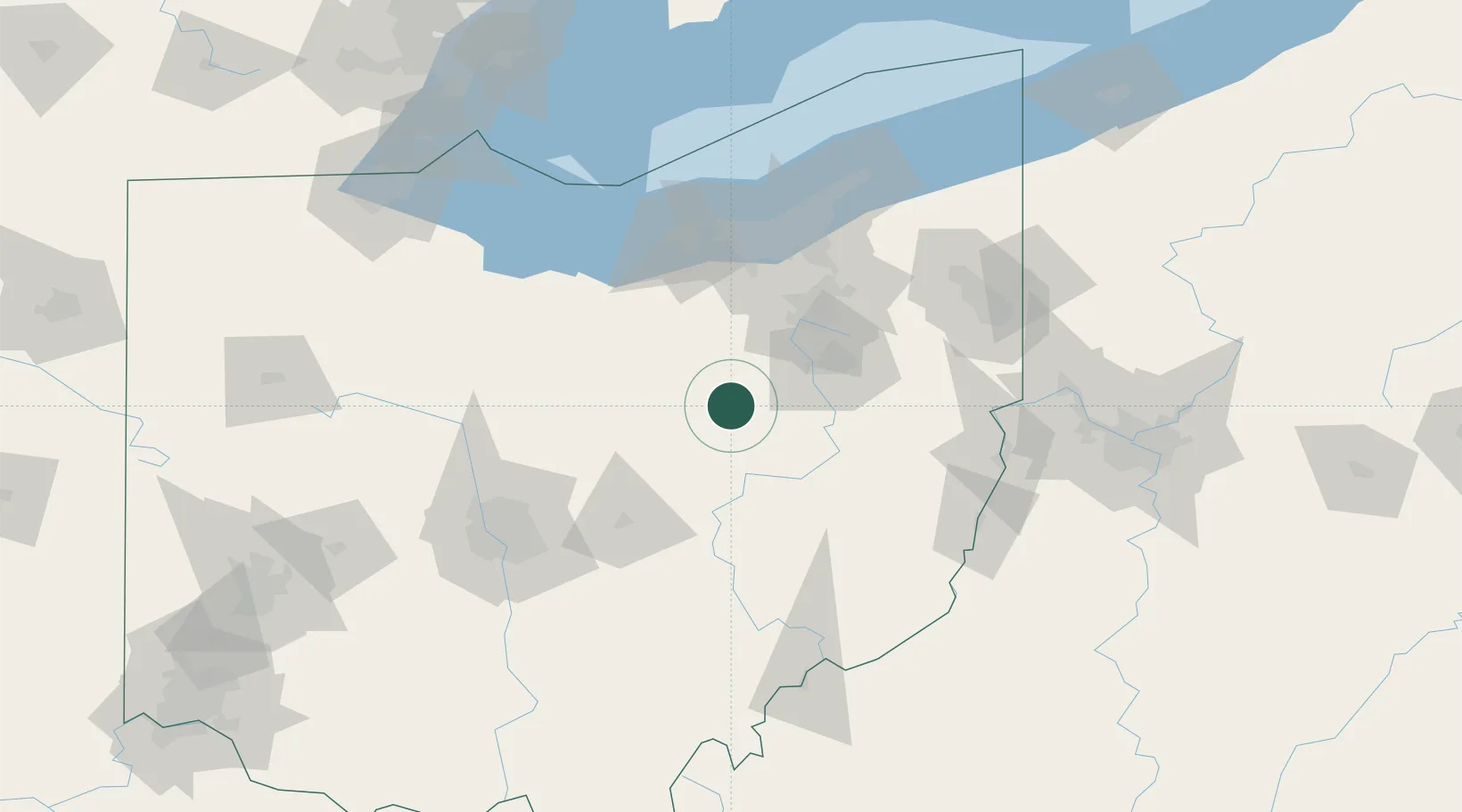
Holmesville
40.6167°, -81.9167°
388
Population
1
Transport functions
Transport Functions
Multimodal
Hub Profile
Place type
Populated place
Region
Ohio
Population
388
Time zone
America/New_York
Elevation
262 m
Location
Nearby Logistics Neighbours
Cities
- 1Shreve10 km
- 2Mount Hope11 km
- 3Big Prairie16 km
- 4Walnut Creek19 km
- 5Loudonville27 km
Airports
Trade Zones
- 1FTZ No. 181 Akron Canton41 km
- 2FTZ No. 040 Cleveland98 km
- 3FTZ No. 138 Franklin County124 km
- 4FTZ No. 151 Findlay158 km
- 5FTZ No. 033 Pittsburgh159 km
DatabookThe Record of Consolidated Knowledge
United States beyond logistics?