UN/LOCODE hub · United States
USPY5

Picatinny Arsenal

40.9500°, -74.5333°
2
Transport functions

Transport Functions

Rail
Postal
UN/LOCODE

Hub Profile

Region
NJ
GeoNames

Location

Location of USPY5
Natural Earth 10m (public domain) · NJ · USPY5 · 40.95, -74.53GoogleOSMYandex

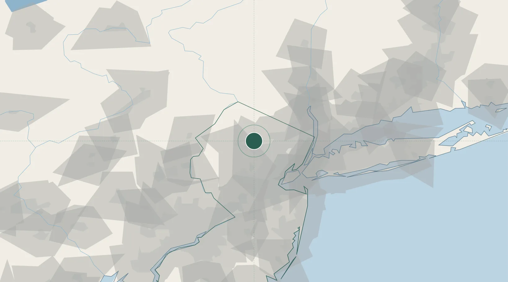
Nearby Logistics Neighbours

Cities
  1. 1Green Pond9 km
  2. 2Mountain Lakes10 km
  3. 3Point Pleasant11 km
  4. 4Kenvil11 km
  5. 5Landing11 km
Nearest neighbours — logibook spatial index (haversine) over the source coordinates
Ports
  1. 1Newark43 km
  2. 2Elizabethport45 km
  3. 3Bayway45 km
  4. 4Bayonne47 km
  5. 5Port Richmond SI47 km
Nearest neighbours — logibook spatial index (haversine) over the source coordinates
Airports
  1. 1Morristown Municipal Airport20 km
  2. 2Teterboro Airport41 km
  3. 3Newark Liberty International Airport42 km
  4. 4West 30th Street Heliport49 km
  5. 5East 34th Street Heliport53 km
Nearest neighbours — logibook spatial index (haversine) over the source coordinates
Trade Zones
  1. 1FTZ No. 044 Morris County29 km
  2. 2FTZ No. 049 Newark Elizabeth42 km
  3. 3FTZ No. 001 New York City52 km
  4. 4FTZ No. 037 Orange County58 km
  5. 5FTZ No. 200 Mercer County79 km
Nearest neighbours — logibook spatial index (haversine) over the source coordinates
DatabookThe Record of Consolidated Knowledge
United States beyond logistics?
Browse databook

All Sources

LocationsUN/LOCODE
UN/LOCODE — free
Portsthe NGA World Port Index
Public domain (US gov)
AirportsOurAirports
Public domain
Trade Zonesthe World Bank SEZ database
CC BY 4.0
Trade ZonesOpen Zone Map
CC BY
← United States locations