UN/LOCODE hub · United States
USOEC
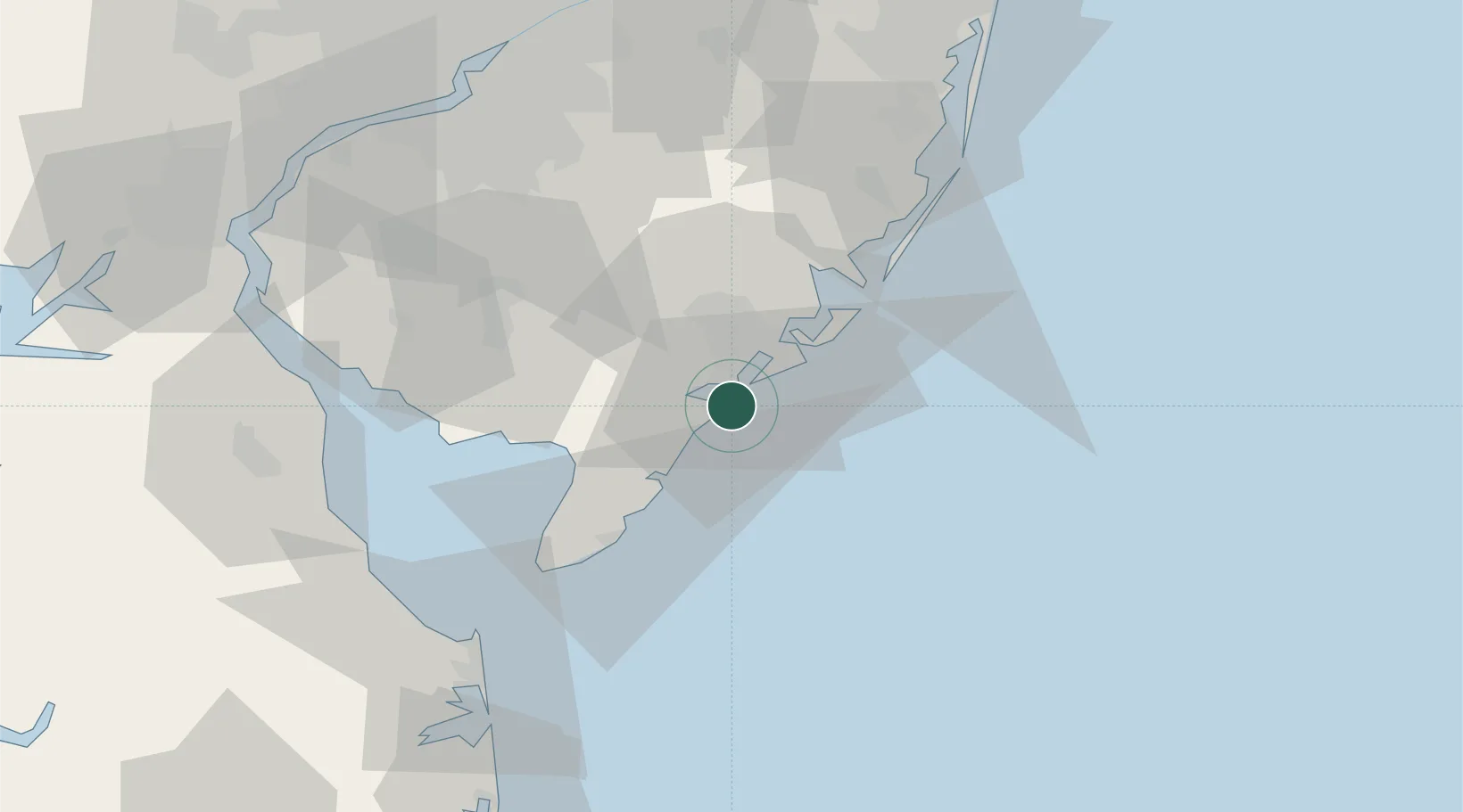
Ocean City
39.2667°, -74.5667°
11,355
Population
2
Transport functions
Transport Functions
Road
Multimodal
Hub Profile
Place type
Populated place
Region
New Jersey
Population
11,355
Time zone
America/New_York
Elevation
3 m
Location
Nearby Logistics Neighbours
Cities
- 1Northfield11 km
- 2Absecon18 km
- 3Dennisville23 km
- 4Cape May Court House30 km
- 5Port Elizabeth35 km
Ports
- 1Atlantic City17 km
- 2Barnegat69 km
- 3Gloucester86 km
- 4Paulsboro87 km
- 5Philadelphia90 km
Airports
Trade Zones
- 1FTZ No. 142 Salem Millville50 km
- 2FTZ No. 235 Lakewood94 km
- 3FTZ No. 099 Wilmington99 km
- 4FTZ No. 035 Philadelphia101 km
- 5FTZ No. 200 Mercer County115 km
DatabookThe Record of Consolidated Knowledge
United States beyond logistics?