UN/LOCODE hub · United States
USNHL
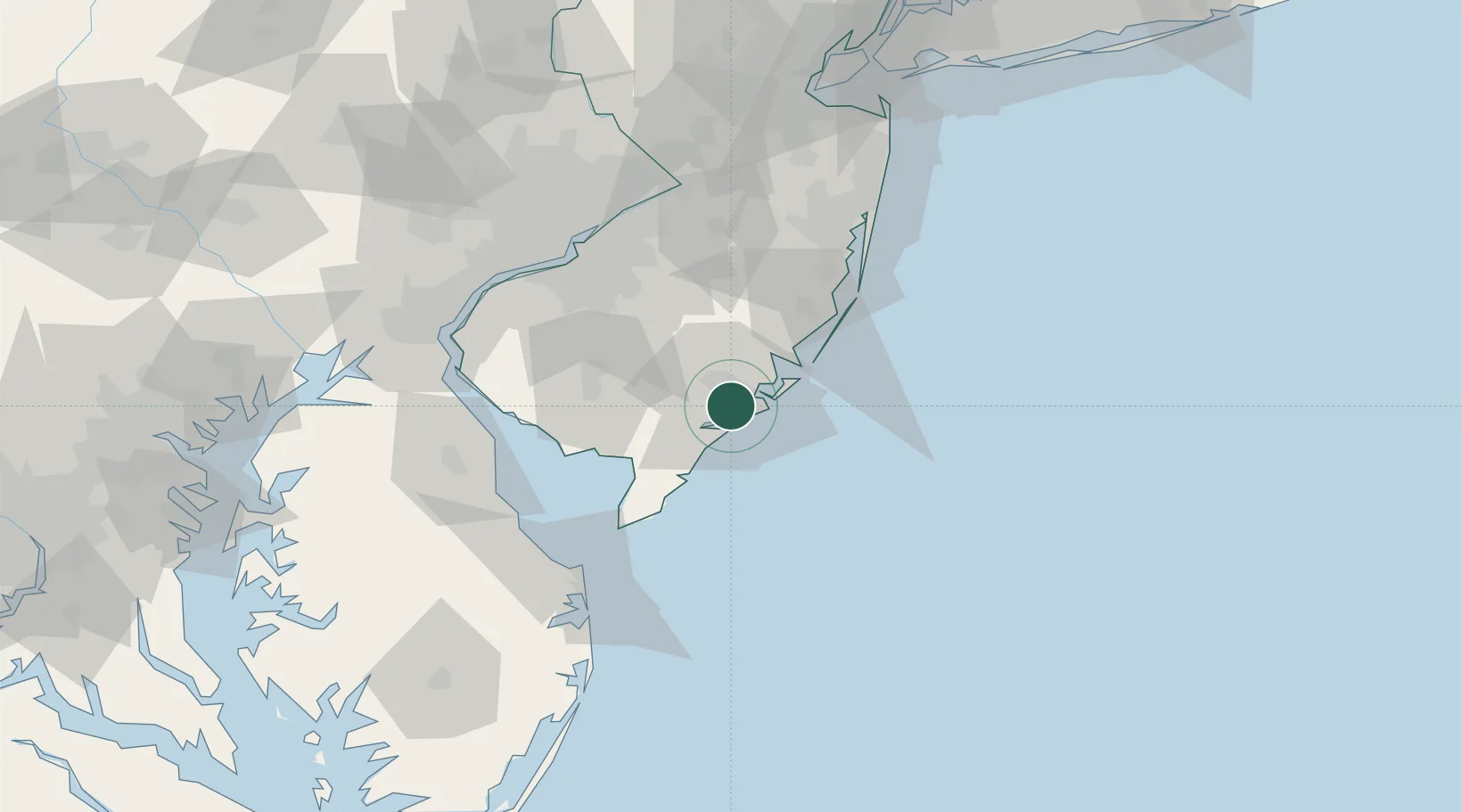
Northfield
39.3667°, -74.5500°
8,521
Population
2
Transport functions
Transport Functions
Road
Multimodal
Hub Profile
Place type
Populated place
Region
New Jersey
Population
8,521
Time zone
America/New_York
Elevation
8 m
Location
Nearby Logistics Neighbours
Cities
- 1Absecon8 km
- 2Ocean City11 km
- 3New Gretna26 km
- 4Dennisville30 km
- 5Folsom37 km
Ports
- 1Atlantic City12 km
- 2Barnegat59 km
- 3Gloucester78 km
- 4Paulsboro81 km
- 5Philadelphia82 km
Airports
Trade Zones
- 1FTZ No. 142 Salem Millville49 km
- 2FTZ No. 235 Lakewood83 km
- 3FTZ No. 035 Philadelphia93 km
- 4FTZ No. 099 Wilmington95 km
- 5FTZ No. 200 Mercer County105 km
DatabookThe Record of Consolidated Knowledge
United States beyond logistics?