Transport Functions
Road
Multimodal
Hub Profile
Place type
Populated place
Region
New Jersey
Population
8,317
Time zone
America/New_York
Elevation
8 m
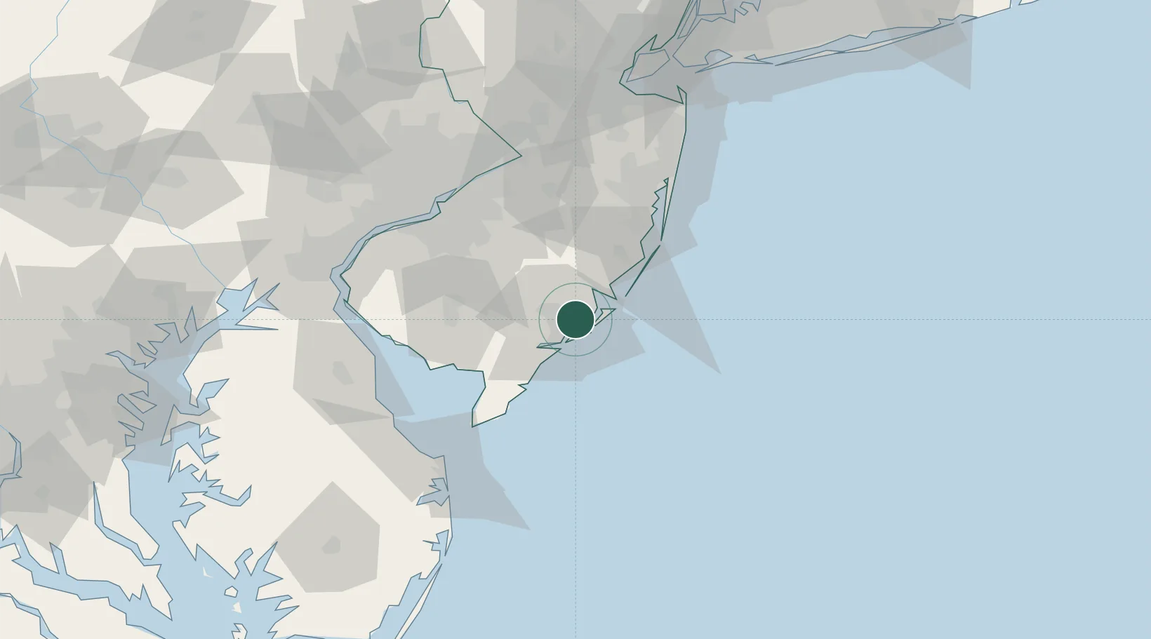
Location
Nearby Logistics Neighbours
Cities
- 1Northfield8 km
- 2Ocean City18 km
- 3New Gretna19 km
- 4Manahawkin36 km
- 5Ship Bottom37 km
Ports
- 1Atlantic City8 km
- 2Barnegat51 km
- 3Gloucester77 km
- 4Burlington81 km
- 5Philadelphia81 km
Airports
Trade Zones
- 1FTZ No. 142 Salem Millville55 km
- 2FTZ No. 235 Lakewood76 km
- 3FTZ No. 035 Philadelphia93 km
- 4FTZ No. 099 Wilmington98 km
- 5FTZ No. 200 Mercer County101 km
DatabookThe Record of Consolidated Knowledge
United States beyond logistics?