Channel & Berth Profile
Pilotage, Tugs & Services
Pilotage compulsoryYES
Pilotage availableYES
Tug assistanceYES
Facilities & Capabilities
Container—
Ro-Ro—
Liquid bulk—
Dry bulk—
Oil terminal—
Break bulk—
Dry dockNO
Repairs—
Bunkering—
Rail link—
Dangerous cargo—
ISPS security—
Harbour Specifications
Harbour size
Very Small
Harbour type
Canal or Lake
Shelter
Excellent
Water body
Lake Ontario; Great Lakes
Overhead limit
Yes
Pilotage
Yes
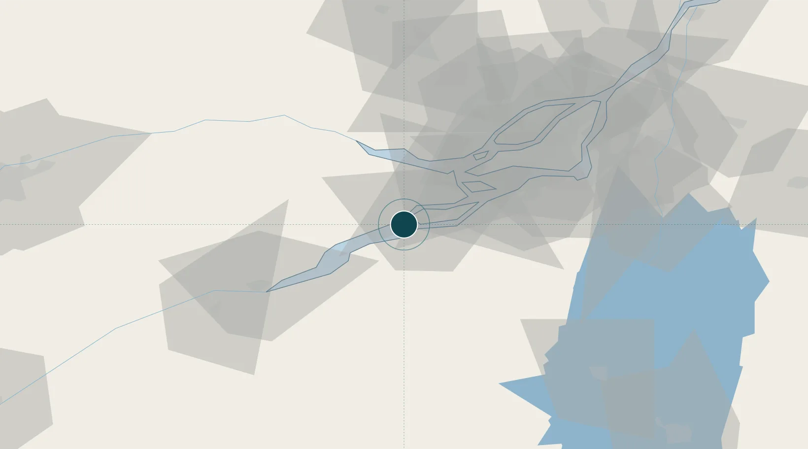
Location
Nearby Logistics Neighbours
Ports
- 1St Zotique4 km
- 2St Anicet18 km
- 3Vaudreuil21 km
- 4Hudson25 km
- 5Oka Sur Le Lac26 km
Cities
- 1Saint-Zotique4 km
- 2Salaberry-de-Valleyfield5 km
- 3Valleyfield5 km
- 4Saint-Dominique8 km
- 5Rivière-Beaudette11 km
Airports
Trade Zones
- 1Greater Montreal Free Zone Center58 km
- 2FTZ No. 118 Ogdensburg119 km
- 3FTZ No. 109 Watertown194 km
- 4FTZ No. 172 Oneida County267 km
- 5FTZ No. 090 Onondaga274 km
DatabookThe Record of Consolidated Knowledge
Canada beyond logistics?