Transport Functions
Rail
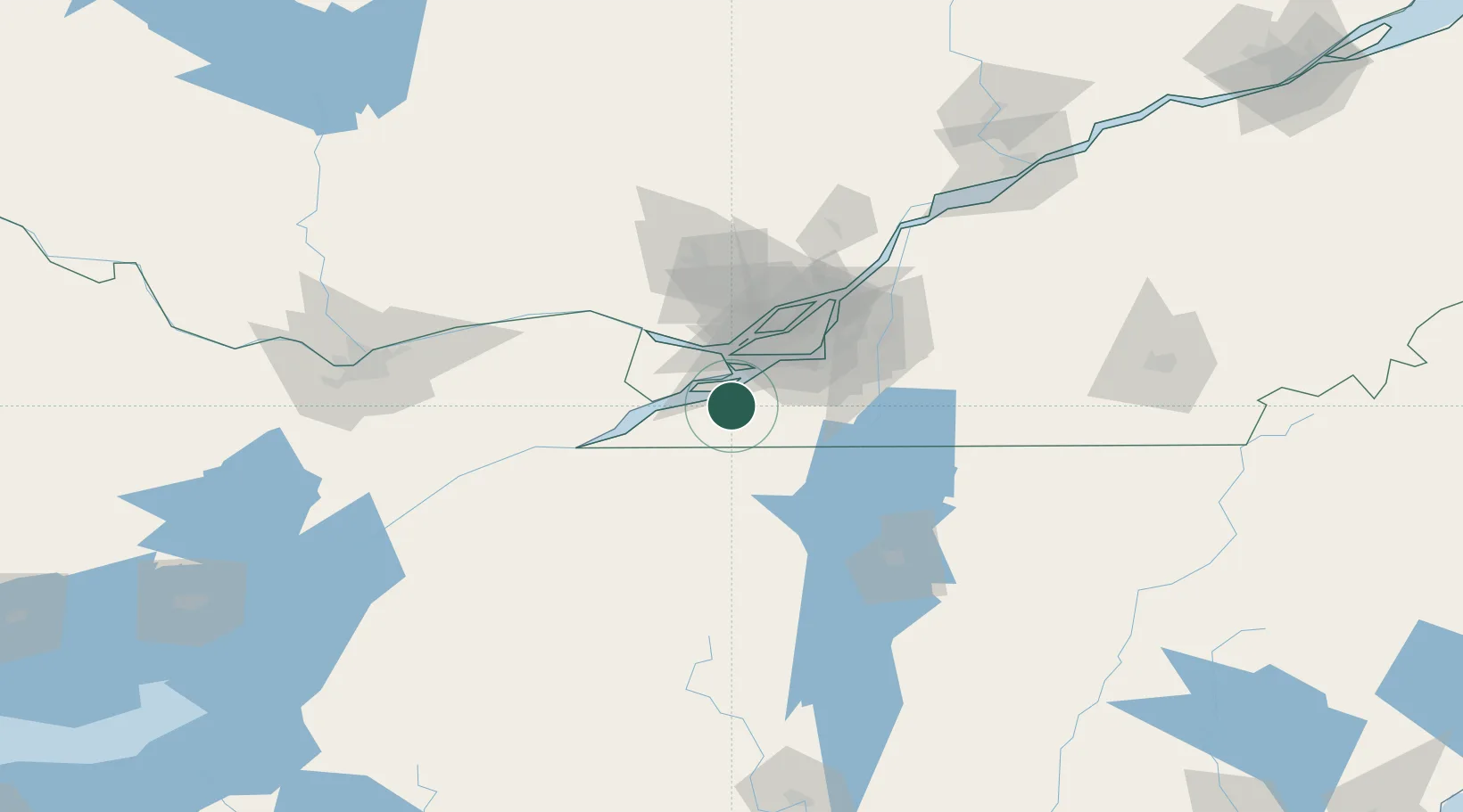
Hub Profile
Place type
Populated place
Region
Quebec
Time zone
America/Toronto
Elevation
397 m
Location
Nearby Logistics Neighbours
Cities
- 1L'Île-des-Soeurs (Nuns Island)12 km
- 2Salaberry-de-Valleyfield14 km
- 3Valleyfield14 km
- 4Léry19 km
- 5Saint-Dominique19 km
Ports
- 1Beauharnois15 km
- 2Coteau Landing19 km
- 3Vaudreuil23 km
- 4St Zotique23 km
- 5Oka Sur Le Lac31 km
Airports
Trade Zones
- 1Greater Montreal Free Zone Center47 km
- 2FTZ No. 118 Ogdensburg133 km
- 3FTZ No. 109 Watertown204 km
- 4FTZ No. 172 Oneida County274 km
- 5FTZ No. 121 Albany277 km
DatabookThe Record of Consolidated Knowledge
Canada beyond logistics?