UN/LOCODE hub · Canada
CASVF
Salaberry-de-Valleyfield
45.2500°, -74.1333°
42,787
Population
1
Transport functions
Transport Functions
Multimodal
Hub Profile
Place type
Populated place
Region
Quebec
Population
42,787
Time zone
America/Toronto
Elevation
46 m
Location
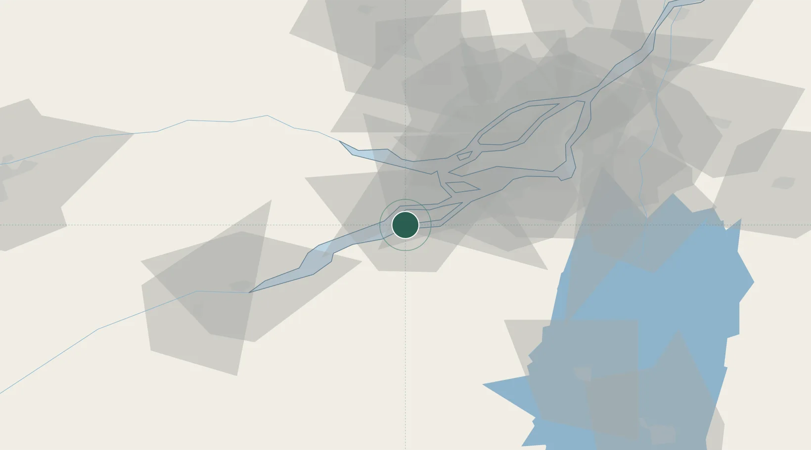
Nearby Logistics Neighbours
Cities
- 1Valleyfield0 km
- 2Saint-Dominique8 km
- 3Saint-Zotique9 km
- 4L'Île-des-Soeurs (Nuns Island)10 km
- 5Saint-Louis-de-Gonzague14 km
Ports
- 1Coteau Landing5 km
- 2St Zotique9 km
- 3Vaudreuil18 km
- 4Beauharnois21 km
- 5St Anicet22 km
Airports
Trade Zones
- 1Greater Montreal Free Zone Center53 km
- 2FTZ No. 118 Ogdensburg124 km
- 3FTZ No. 109 Watertown198 km
- 4FTZ No. 172 Oneida County270 km
- 5FTZ No. 090 Onondaga277 km
DatabookThe Record of Consolidated Knowledge
Canada beyond logistics?