Transport Functions
Port
Multimodal
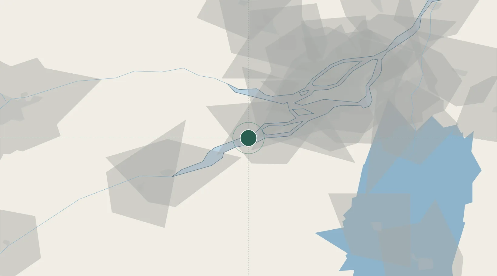
Hub Profile
Place type
Populated place
Region
Quebec
Population
6,773
Time zone
America/Toronto
Elevation
47 m
Location
Nearby Logistics Neighbours
Cities
- 1Rivière-Beaudette7 km
- 2Salaberry-de-Valleyfield9 km
- 3Valleyfield9 km
- 4Saint-Dominique12 km
- 5L'Île-des-Soeurs (Nuns Island)19 km
Ports
- 1Coteau Landing4 km
- 2St Anicet14 km
- 3South Lancaster23 km
- 4Vaudreuil25 km
- 5Hudson28 km
Airports
Trade Zones
- 1Greater Montreal Free Zone Center62 km
- 2FTZ No. 118 Ogdensburg115 km
- 3FTZ No. 109 Watertown190 km
- 4FTZ No. 172 Oneida County264 km
- 5FTZ No. 090 Onondaga270 km
DatabookThe Record of Consolidated Knowledge
Canada beyond logistics?