Transport Functions
Rail
Road
Multimodal
Hub Profile
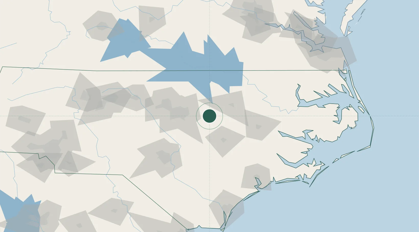
Place type
Populated place
Region
North Carolina
Population
814
Time zone
America/New_York
Elevation
80 m
Location
Nearby Logistics Neighbours
Cities
- 1Salemburg17 km
- 2Kenly23 km
- 3Knightdale24 km
- 4Rolesville27 km
- 5Nashville29 km
Ports
- 1Washington107 km
- 2New Bern129 km
- 3Plymouth131 km
- 4Belhaven144 km
- 5Edenton146 km
Airports
Trade Zones
- 1FTZ No. 093 Raleigh Durham65 km
- 2FTZ No. 214 Lenoir County69 km
- 3FTZ No. 230 Piedmont Triad Area181 km
- 4FTZ No. 020 Suffolk192 km
- 5FTZ No. 207 Richmond202 km
DatabookThe Record of Consolidated Knowledge
United States beyond logistics?