Transport Functions
Rail
Road
Multimodal
Hub Profile
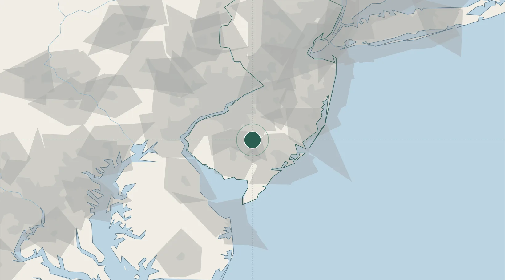
Place type
Populated place
Region
New Jersey
Population
1,851
Time zone
America/New_York
Elevation
28 m
Location
Nearby Logistics Neighbours
Cities
- 1Blue Anchor10 km
- 2Pennsauken12 km
- 3Erial23 km
- 4Indian Mills23 km
- 5Pittsgrove24 km
Ports
- 1Gloucester41 km
- 2Paulsboro44 km
- 3Atlantic City45 km
- 4Philadelphia46 km
- 5Camden46 km
Airports
Trade Zones
- 1FTZ No. 142 Salem Millville33 km
- 2FTZ No. 035 Philadelphia57 km
- 3FTZ No. 099 Wilmington62 km
- 4FTZ No. 235 Lakewood74 km
- 5FTZ No. 200 Mercer County76 km
DatabookThe Record of Consolidated Knowledge
United States beyond logistics?