Transport Functions
Rail
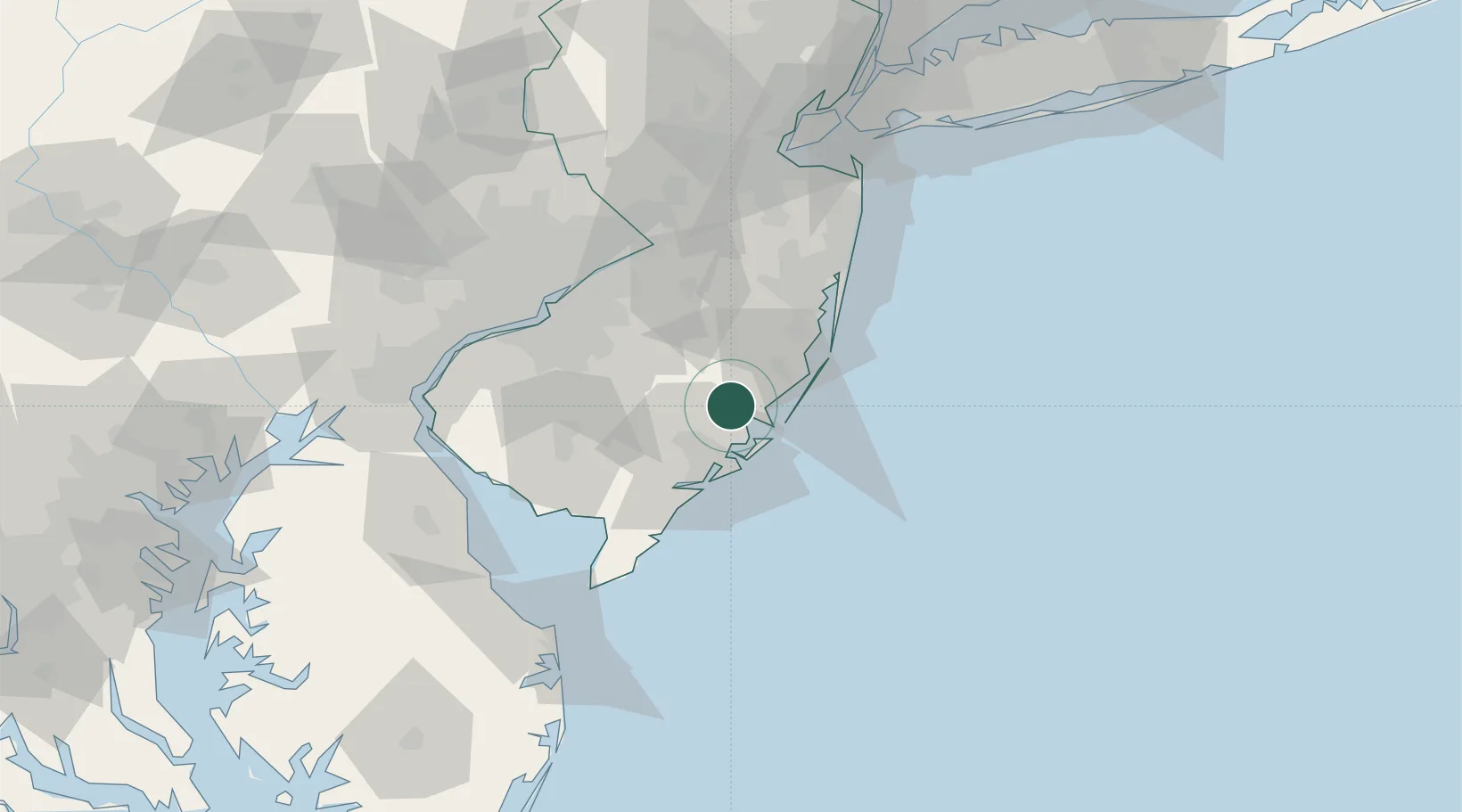
Hub Profile
Place type
Populated place
Region
New Jersey
Time zone
America/New_York
Elevation
2 m
Location
Nearby Logistics Neighbours
Cities
- 1Absecon19 km
- 2Manahawkin20 km
- 3Ship Bottom24 km
- 4Northfield26 km
- 5Chatsworth27 km
Ports
- 1Atlantic City24 km
- 2Barnegat36 km
- 3Burlington66 km
- 4Bristol67 km
- 5Gloucester68 km
Airports
Trade Zones
- 1FTZ No. 235 Lakewood57 km
- 2FTZ No. 142 Salem Millville61 km
- 3FTZ No. 035 Philadelphia83 km
- 4FTZ No. 200 Mercer County85 km
- 5FTZ No. 099 Wilmington96 km
DatabookThe Record of Consolidated Knowledge
United States beyond logistics?