UN/LOCODE hub · United States
USNAP
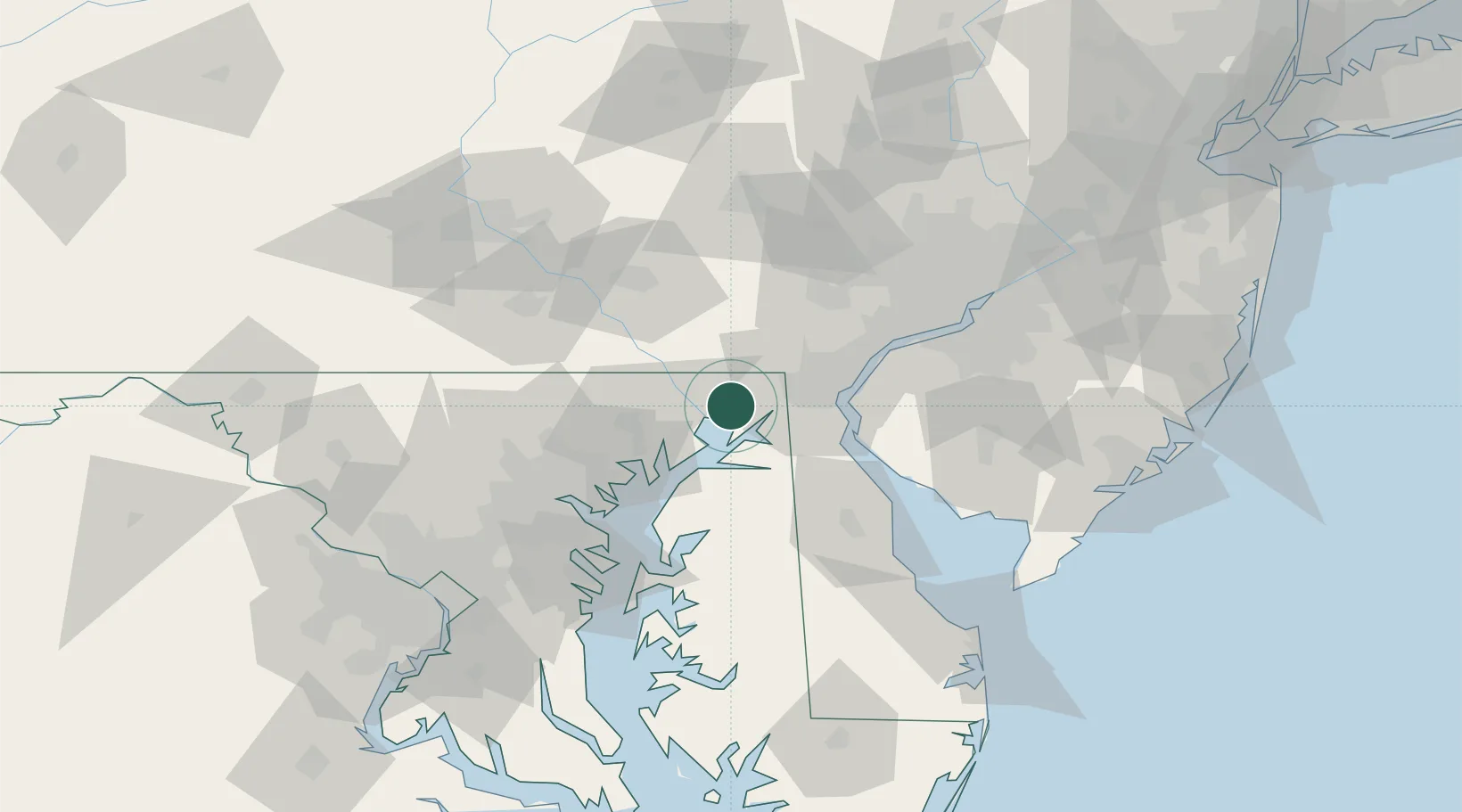
North East
39.5993°, -75.9855°
3,723
Population
3
Transport functions
Transport Functions
Rail
Road
Multimodal
Hub Profile
Place type
Populated place
Region
Maryland
Population
3,723
Time zone
America/New_York
Elevation
5 m
Logistics facilities
1
Location
Nearby Logistics Neighbours
Cities
- 1Perryville8 km
- 2Chesapeake City18 km
- 3Oxford21 km
- 4Perryman24 km
- 5Belcamp26 km
Ports
- 1Havre De Grace11 km
- 2New Castle36 km
- 3Wilmington40 km
- 4Deepwater Point42 km
- 5Salem Nj44 km
Airports
Trade Zones
- 1FTZ No. 099 Wilmington41 km
- 2FTZ No. 074 Baltimore65 km
- 3FTZ No. 073 BWI Airport75 km
- 4FTZ No. 035 Philadelphia77 km
- 5FTZ No. 142 Salem Millville78 km
DatabookThe Record of Consolidated Knowledge
United States beyond logistics?