Transport Functions
Rail
Road
Hub Profile
Place type
Populated place
Region
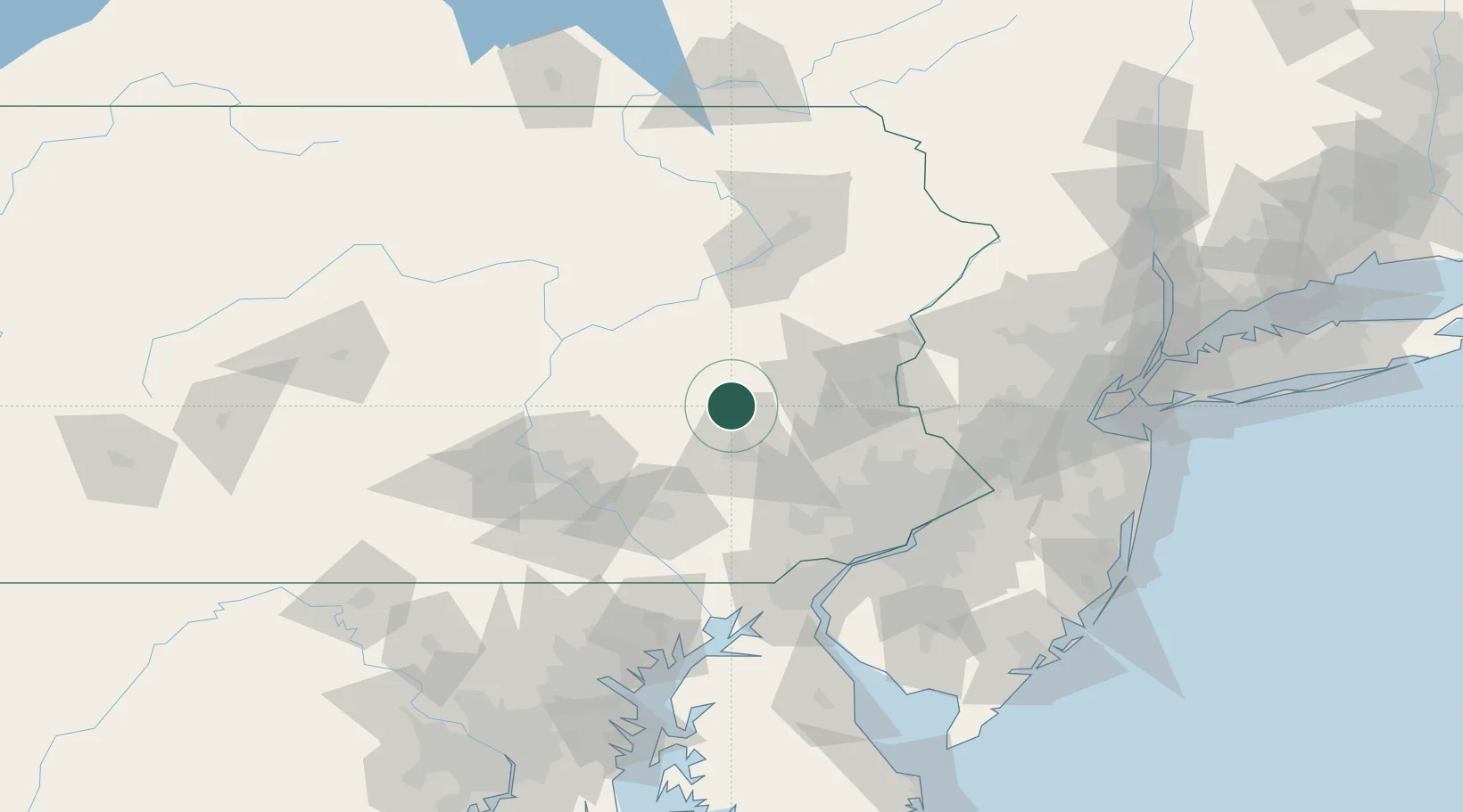
Pennsylvania
Population
4,398
Time zone
America/New_York
Elevation
122 m
Location
Nearby Logistics Neighbours
Cities
- 1Shoemakersville8 km
- 2Deer Lake, Schuylkill8 km
- 3Port Carbon20 km
- 4Muhlenberg21 km
- 5Laureldale21 km
Ports
- 1Chester96 km
- 2Marcus Hook96 km
- 3Philadelphia100 km
- 4Camden100 km
- 5Wilmington100 km
Airports
Trade Zones
DatabookThe Record of Consolidated Knowledge
United States beyond logistics?