Transport Functions
Multimodal
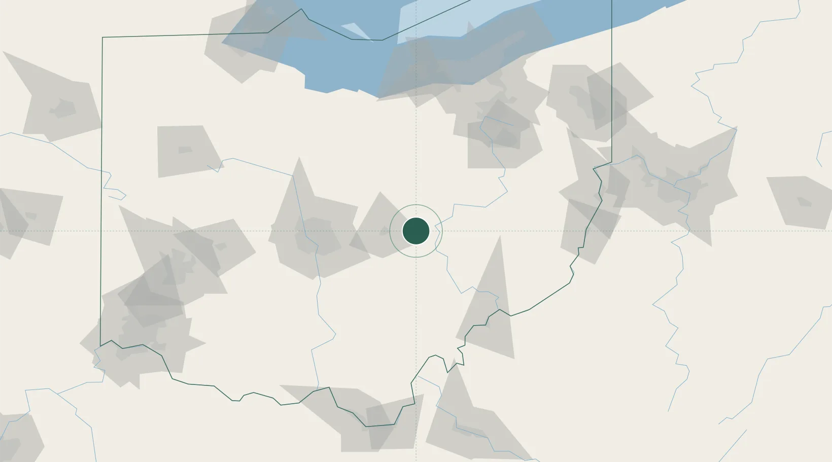
Hub Profile
Place type
Populated place
Region
Ohio
Time zone
America/New_York
Elevation
251 m
Location
Nearby Logistics Neighbours
Cities
- 1Frazeysburg7 km
- 2Conesville27 km
- 3Buckeye Lake30 km
- 4Granville30 km
- 5Duncan Falls32 km
Airports
Trade Zones
- 1FTZ No. 138 Franklin County71 km
- 2FTZ No. 181 Akron Canton105 km
- 3FTZ No. 054 Clinton County156 km
- 4FTZ No. 040 Cleveland161 km
- 5FTZ No. 151 Findlay169 km
DatabookThe Record of Consolidated Knowledge
United States beyond logistics?