Transport Functions
Rail
Road
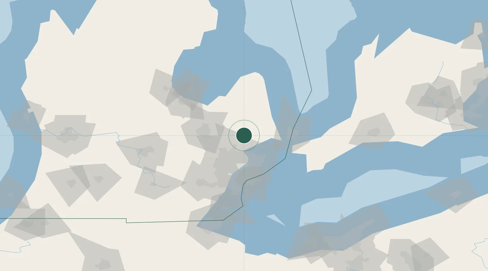
Hub Profile
Place type
Populated place
Region
Michigan
Population
941
Time zone
America/Detroit
Elevation
286 m
Location
Nearby Logistics Neighbours
Ports
- 1St Clair54 km
- 2Courtright55 km
- 3Port Huron56 km
- 4Sarnia57 km
- 5Point Edward57 km
Airports
Trade Zones
DatabookThe Record of Consolidated Knowledge
United States beyond logistics?