UN/LOCODE hub · Mexico
MXRBV
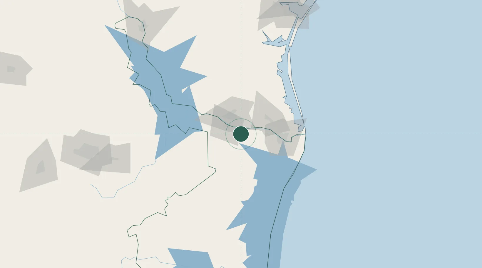
Ciudad Río Bravo
25.9667°, -98.0833°
95,647
Population
4
Transport functions
Transport Functions
Port
Rail
Road
Multimodal
Hub Profile
Place type
Provincial seat
Region
Tamaulipas
Population
95,647
Time zone
America/Monterrey
Elevation
26 m
Location
Nearby Logistics Neighbours
Cities
- 1Hidalgo15 km
- 2Reynosa24 km
- 3San Juan25 km
- 4Hidalgo25 km
- 5Los Indios35 km
Ports
- 1Brownsville68 km
- 2Port Isabel89 km
- 3Corpus Christi217 km
- 4Port Ingleside224 km
- 5Port Aransas232 km
Airports
Trade Zones
- 1FTZ No. 156 Weslaco22 km
- 2FTZ No. 157 Casper22 km
- 3FTZ No. 012 McAllen28 km
- 4FTZ No. 062 Brownsville67 km
- 5FTZ No. 095 Starr County86 km
DatabookThe Record of Consolidated Knowledge
Mexico beyond logistics?