UN/LOCODE hub · United States
USCP3

Centerport, Gayuga

43.0333°, -76.6167°
2
Transport functions

Transport Functions

Road
Multimodal
UN/LOCODE

Hub Profile

Region
NY
GeoNames

Location

Location of USCP3
Natural Earth 10m (public domain) · NY · USCP3 · 43.03, -76.62GoogleOSMYandex

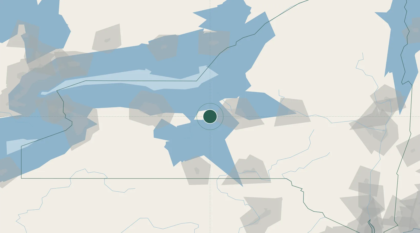
Nearby Logistics Neighbours

Cities
  1. 1Weedsport5 km
  2. 2Elbridge15 km
  3. 3Cayuga15 km
  4. 4Cato15 km
  5. 5Skaneateles20 km
Nearest neighbours — logibook spatial index (haversine) over the source coordinates
Ports
  1. 1Sodus Bay40 km
  2. 2Oswego49 km
  3. 3Rochester84 km
  4. 4Picton117 km
  5. 5Millhaven130 km
Nearest neighbours — logibook spatial index (haversine) over the source coordinates
Trade Zones
  1. 1FTZ No. 090 Onondaga47 km
  2. 2FTZ No. 172 Oneida County52 km
  3. 3FTZ No. 289 Ontario County81 km
  4. 4FTZ No. 141 Monroe County113 km
  5. 5FTZ No. 109 Watertown121 km
Nearest neighbours — logibook spatial index (haversine) over the source coordinates
DatabookThe Record of Consolidated Knowledge
United States beyond logistics?
Browse databook

All Sources

LocationsUN/LOCODE
UN/LOCODE — free
Portsthe NGA World Port Index
Public domain (US gov)
AirportsOurAirports
Public domain
Trade Zonesthe World Bank SEZ database
CC BY 4.0
Trade ZonesOpen Zone Map
CC BY
← United States locations