Transport Functions
Rail
Road
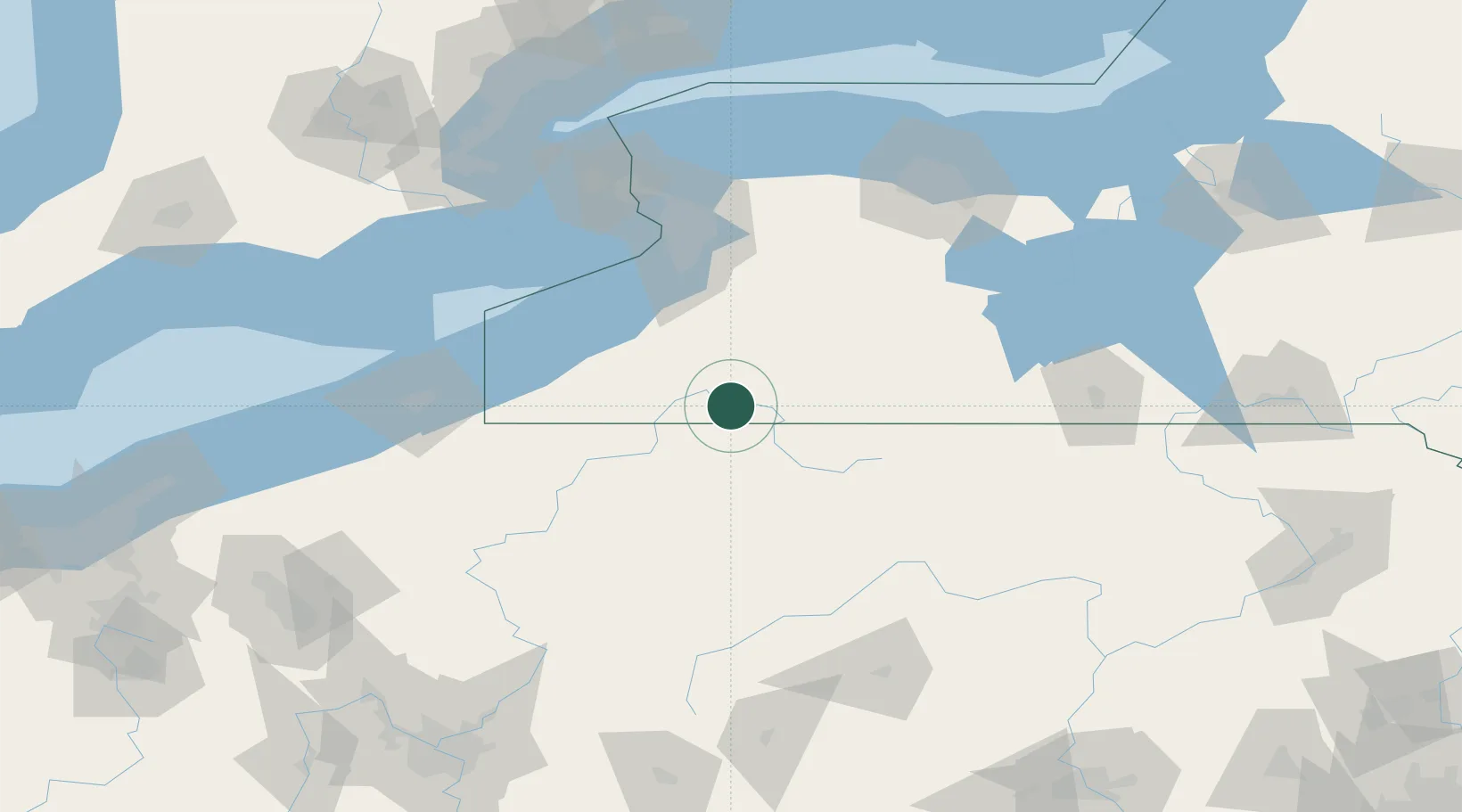
Hub Profile
Place type
Populated place
Region
New York
Time zone
America/New_York
Elevation
428 m
Location
Nearby Logistics Neighbours
Cities
- 1Salamanca12 km
- 2Portville21 km
- 3Hazelton Mills25 km
- 4Mckean30 km
- 5Cuba30 km
Ports
- 1Dunkirk76 km
- 2Buffalo92 km
- 3Port Colborne104 km
- 4Tonawanda109 km
- 5Welland116 km
Airports
Trade Zones
- 1FTZ No. 254 Jefferson County73 km
- 2FTZ No. 023 Buffalo91 km
- 3FTZ No. 295 Central Pennsylvania109 km
- 4FTZ No. 289 Ontario County116 km
- 5Niagara Foreign Trade Zone119 km
DatabookThe Record of Consolidated Knowledge
United States beyond logistics?