Transport Functions
Rail
Road
Multimodal
Hub Profile
Place type
Populated place
Region
New Jersey
Population
524
Time zone
America/New_York
Elevation
35 m
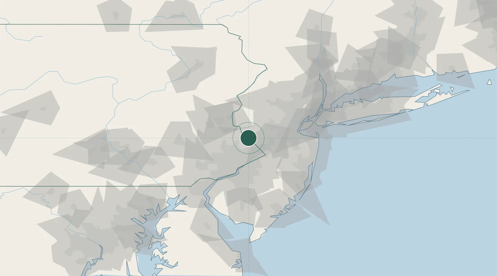
Location
Nearby Logistics Neighbours
Cities
- 1Deer Park6 km
- 2Lahaska8 km
- 3Frenchtown15 km
- 4Ottsville19 km
- 5Yardley19 km
Ports
- 1Trenton28 km
- 2Bristol35 km
- 3Burlington36 km
- 4Sayreville51 km
- 5Philadelphia52 km
Airports
Trade Zones
DatabookThe Record of Consolidated Knowledge
United States beyond logistics?