UN/LOCODE hub · United States
USJMA

Marissa

38.2500°, -89.7500°
1,856
Population
2
Transport functions

Transport Functions

Rail
Road
UN/LOCODE

Hub Profile

Place type
Populated place
GeoNames
Region
Illinois
GeoNames
Population
1,856
GeoNames
Time zone
America/Chicago
GeoNames
Elevation
138 m
GeoNames

Location

Location of USJMA
Natural Earth 10m (public domain) · Illinois · USJMA · 38.25, -89.75GoogleOSMYandex

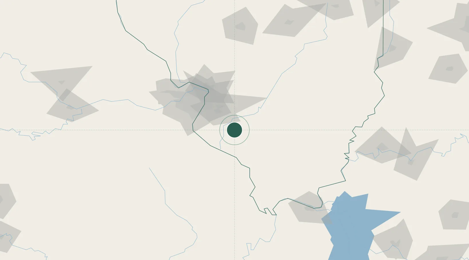
Nearby Logistics Neighbours

Cities
  1. 1Baldwin12 km
  2. 2Fayetteville13 km
  3. 3Coulterville15 km
  4. 4Red Bud22 km
  5. 5Evansville25 km
Nearest neighbours — logibook spatial index (haversine) over the source coordinates
Ports
  1. 1Port Of Memphis356 km
  2. 2Gary427 km
  3. 3Indiana Harbor428 km
  4. 4Calumet Harbor432 km
  5. 5Chicago444 km
Nearest neighbours — logibook spatial index (haversine) over the source coordinates
Airports
  1. 1Scott AFB/Midamerica Airport34 km
  2. 2Southern Illinois Airport68 km
  3. 3St Louis Regional Airport76 km
  4. 4St. Louis Lambert International Airport77 km
  5. 5Veterans Airport of Southern Illinois85 km
Nearest neighbours — logibook spatial index (haversine) over the source coordinates
Trade Zones
  1. 1FTZ No. 031 Granite City67 km
  2. 2FTZ No. 102 St. Louis County94 km
  3. 3FTZ No. 294 Western Kentucky167 km
  4. 4FTZ No. 245 Decatur188 km
  5. 5FTZ No. 177 Evansville189 km
Nearest neighbours — logibook spatial index (haversine) over the source coordinates
DatabookThe Record of Consolidated Knowledge
United States beyond logistics?
Browse databook

All Sources

LocationsUN/LOCODE
UN/LOCODE — free
LocationsGeoNames
CC BY 4.0
Portsthe NGA World Port Index
Public domain (US gov)
AirportsOurAirports
Public domain
Trade Zonesthe World Bank SEZ database
CC BY 4.0
Trade ZonesOpen Zone Map
CC BY
← United States locations