UN/LOCODE hub · United States
USCV6
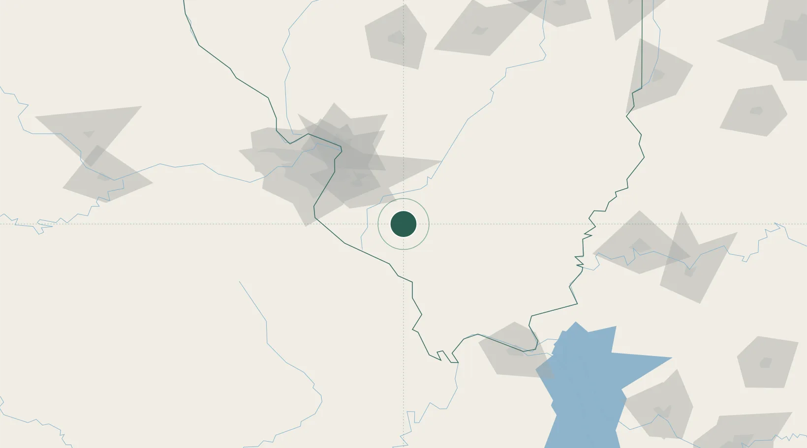
Coulterville
38.1833°, -89.6000°
913
Population
2
Transport functions
Transport Functions
Road
Multimodal
Hub Profile
Place type
Populated place
Region
Illinois
Population
913
Time zone
America/Chicago
Elevation
169 m
Location
Nearby Logistics Neighbours
Cities
- 1Marissa15 km
- 2Baldwin21 km
- 3Steeleville21 km
- 4Pinckneyville22 km
- 5Fayetteville26 km
Ports
- 1Port Of Memphis350 km
- 2Gary428 km
- 3Indiana Harbor429 km
- 4Calumet Harbor433 km
- 5Chicago445 km
Airports
Trade Zones
- 1FTZ No. 031 Granite City81 km
- 2FTZ No. 102 St. Louis County109 km
- 3FTZ No. 294 Western Kentucky153 km
- 4FTZ No. 177 Evansville175 km
- 5FTZ No. 245 Decatur192 km
DatabookThe Record of Consolidated Knowledge
United States beyond logistics?