UN/LOCODE hub · United States
USFYZ
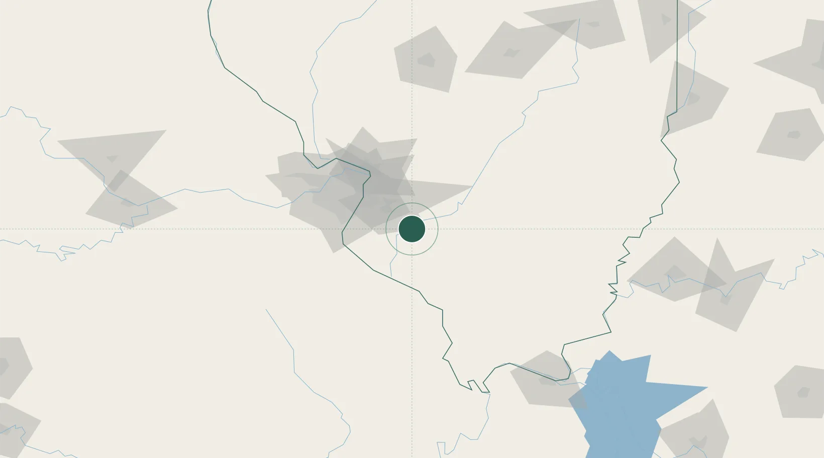
Fayetteville
38.3667°, -89.7833°
343
Population
1
Transport functions
Transport Functions
Multimodal
Hub Profile
Place type
Populated place
Region
Illinois
Population
343
Time zone
America/Chicago
Elevation
126 m
Location
Nearby Logistics Neighbours
Cities
- 1Marissa13 km
- 2Mascoutah17 km
- 3Scott Air Force Base22 km
- 4Baldwin23 km
- 5Red Bud25 km
Ports
- 1Port Of Memphis369 km
- 2Gary417 km
- 3Indiana Harbor418 km
- 4Calumet Harbor421 km
- 5Chicago433 km
Airports
Trade Zones
- 1FTZ No. 031 Granite City55 km
- 2FTZ No. 102 St. Louis County86 km
- 3FTZ No. 245 Decatur177 km
- 4FTZ No. 294 Western Kentucky179 km
- 5FTZ No. 177 Evansville194 km
DatabookThe Record of Consolidated Knowledge
United States beyond logistics?