Transport Functions
Port
Road
Border Crossing
Hub Profile
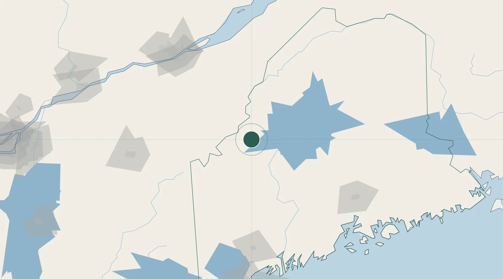
Place type
Populated place
Region
Maine
Population
746
Time zone
America/New_York
Elevation
367 m
Location
Nearby Logistics Neighbours
Cities
- 1Lac-Mégantic48 km
- 2Lac-Drolet49 km
- 3Saint-Côme-Linière55 km
- 4La Guadeloupe66 km
- 5Bingham67 km
Ports
- 1Bangor146 km
- 2Augusta149 km
- 3Quebec153 km
- 4Winterport154 km
- 5Gardiner158 km
Airports
- 1Saint-Georges Airport65 km
- 2Sherbrooke Airport115 km
- 3Bangor International Airport142 km
- 4Augusta State Airport148 km
- 5Quebec Jean Lesage International Airport158 km
Trade Zones
- 1FTZ No. 186 Waterville127 km
- 2FTZ No. 058 Bangor143 km
- 3Québec City FTZ156 km
- 4FTZ No. 263 Auburn169 km
- 5FTZ No. 179 Madawaska235 km
DatabookThe Record of Consolidated Knowledge
United States beyond logistics?