UN/LOCODE hub · Canada
CALDT

Lac-Drolet

45.7167°, -70.8500°
2
Transport functions

Transport Functions

Port
Multimodal
UN/LOCODE

Hub Profile

Place type
Populated place
GeoNames
Region
Quebec
GeoNames
Time zone
America/Toronto
GeoNames
Elevation
460 m
GeoNames

Location

Location of CALDT
Natural Earth 10m (public domain) · Quebec · CALDT · 45.72, -70.85GoogleOSMYandex

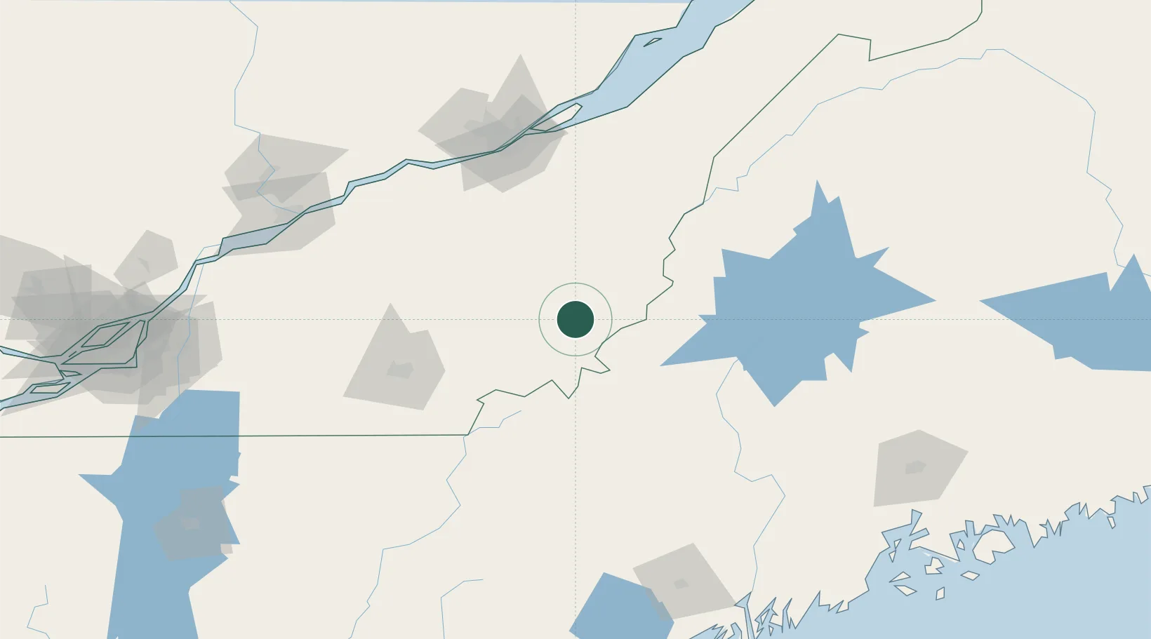
Nearby Logistics Neighbours

Cities
  1. 1Lac-Mégantic17 km
  2. 2La Guadeloupe27 km
  3. 3Saint-Côme-Linière47 km
  4. 4Jackman49 km
  5. 5Robertsonville54 km
Nearest neighbours — logibook spatial index (haversine) over the source coordinates
Ports
  1. 1Quebec126 km
  2. 2Port De Becancour141 km
  3. 3Trois Rivieres149 km
  4. 4Augusta177 km
  5. 5Sorel179 km
Nearest neighbours — logibook spatial index (haversine) over the source coordinates
Airports
  1. 1Saint-Georges Airport44 km
  2. 2Sherbrooke Airport72 km
  3. 3Quebec Jean Lesage International Airport127 km
  4. 4Bromont (Roland Désourdy) Airport155 km
  5. 5Trois-Rivières Airport158 km
Nearest neighbours — logibook spatial index (haversine) over the source coordinates
Trade Zones
  1. 1Québec City FTZ128 km
  2. 2FTZ No. 186 Waterville159 km
  3. 3FTZ No. 263 Auburn187 km
  4. 4FTZ No. 058 Bangor189 km
  5. 5Greater Montreal Free Zone Center212 km
Nearest neighbours — logibook spatial index (haversine) over the source coordinates
DatabookThe Record of Consolidated Knowledge
Canada beyond logistics?
Browse databook

All Sources

LocationsUN/LOCODE
UN/LOCODE — free
Portsthe NGA World Port Index
Public domain (US gov)
AirportsOurAirports
Public domain
Trade Zonesthe World Bank SEZ database
CC BY 4.0
Trade ZonesOpen Zone Map
CC BY
← Canada locations