Medium airport · Canada
Saint-Georges AirportCYSG
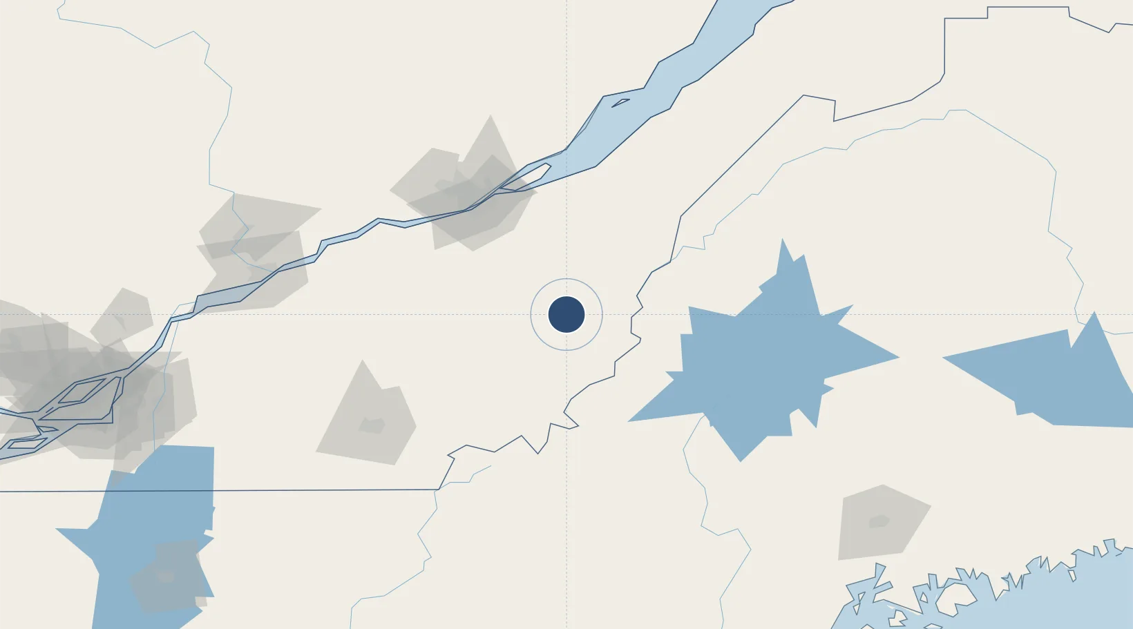
46.0964°, -70.7147°
5,108 ft
Longest runway
1
Runways
893 ft
Elevation
Runway & Layout

Radio Frequencies
CNTR
124 MHz
MONTREAL CNTR
UNIC
122.15 MHz
MF/UNICOM
Navaids
VLV VOR-DME Beauce 117.20 MHz
Runways · 1
| Runway | Dimensions | Surface | True heading | Lit |
|---|---|---|---|---|
| 06/24 | 5,108 × 75ft | Asphalt | 046° | ✓ |
Airport Specifications
ICAO code
CYSG
Airport class
Medium airport
Scheduled service
No
Runway surface
Asphalt
Served city
Saint-Georges
Location
Nearby Logistics Neighbours
Airports
- 1Quebec Jean Lesage International Airport93 km
- 2Sherbrooke Airport105 km
- 3Trois-Rivières Airport154 km
- 4Charlevoix Airport171 km
- 5Bromont (Roland Désourdy) Airport181 km
Cities
- 1Saint-Côme-Linière16 km
- 2La Guadeloupe24 km
- 3Saint-Joseph-de-Beauce26 km
- 4Tring Jonction29 km
- 5Vallée-Jonction34 km
Ports
- 1Quebec89 km
- 2Port De Becancour133 km
- 3Trois Rivieres144 km
- 4Sorel185 km
- 5Contrecour194 km
Trade Zones
- 1Québec City FTZ91 km
- 2FTZ No. 186 Waterville190 km
- 3FTZ No. 058 Bangor206 km
- 4FTZ No. 179 Madawaska224 km
- 5FTZ No. 263 Auburn226 km
DatabookThe Record of Consolidated Knowledge
Canada beyond logistics?