Transport Functions
Rail
Road
Multimodal
Hub Profile
Place type
District seat
Region
Quebec
Time zone
America/Toronto
Elevation
304 m
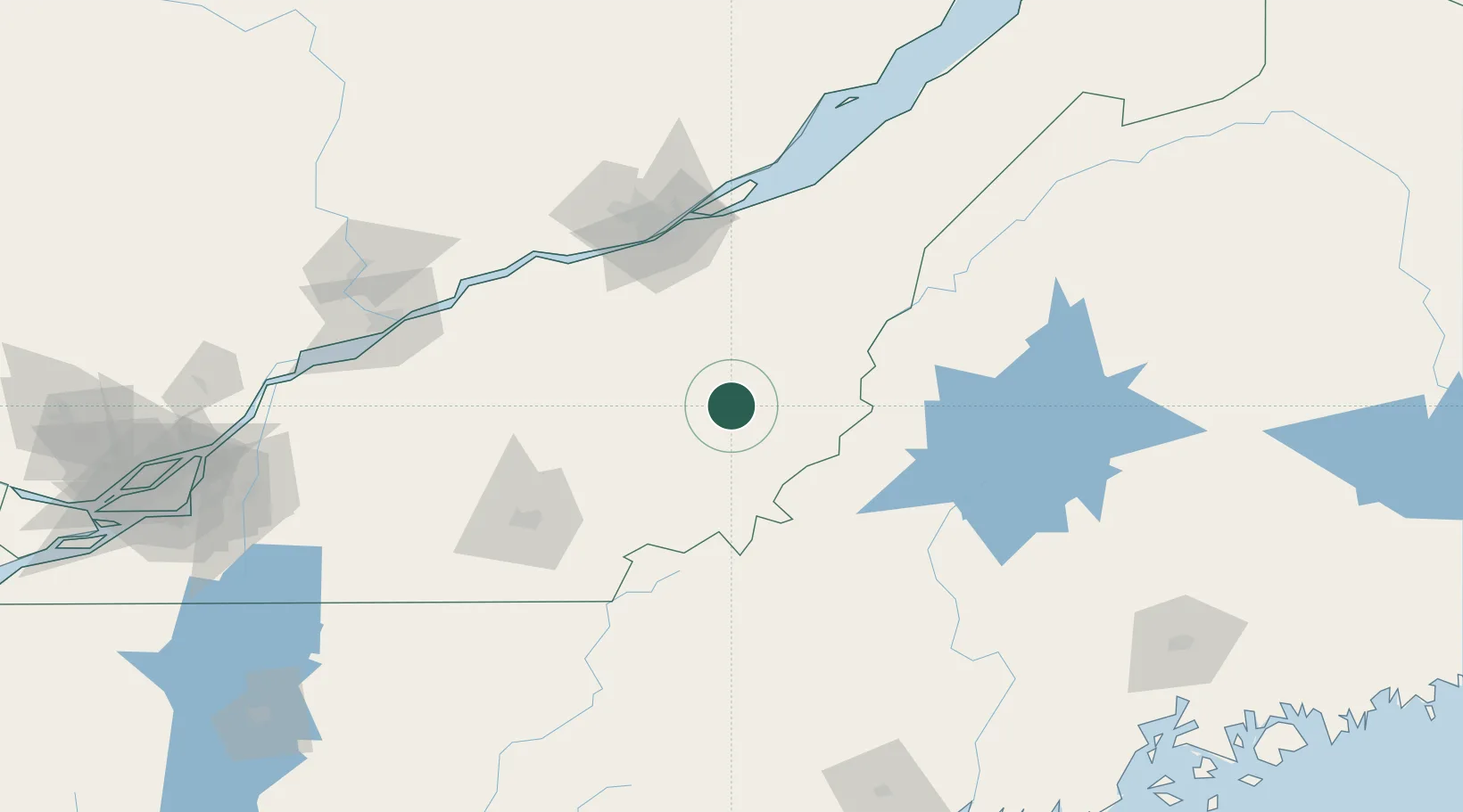
Location
Nearby Logistics Neighbours
Cities
- 1Lac-Drolet27 km
- 2Robertsonville30 km
- 3Saint-Côme-Linière35 km
- 4Tring Jonction36 km
- 5Saint-Joseph-de-Beauce39 km
Ports
- 1Quebec99 km
- 2Port De Becancour122 km
- 3Trois Rivieres132 km
- 4Sorel169 km
- 5Contrecour176 km
Airports
Trade Zones
- 1Québec City FTZ101 km
- 2FTZ No. 186 Waterville184 km
- 3FTZ No. 058 Bangor208 km
- 4Greater Montreal Free Zone Center210 km
- 5FTZ No. 263 Auburn214 km
DatabookThe Record of Consolidated Knowledge
Canada beyond logistics?