UN/LOCODE hub · Canada
CASCI
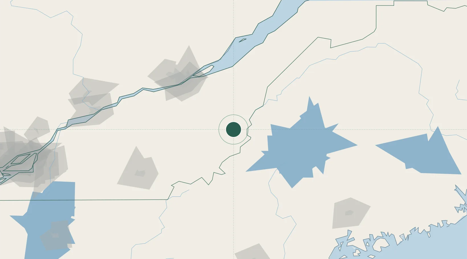
Saint-Côme-Linière
46.0667°, -70.5167°
2,167
Population
2
Transport functions
Transport Functions
Road
Multimodal
Hub Profile
Place type
Populated place
Region
Quebec
Population
2,167
Time zone
America/Toronto
Elevation
310 m
Location
Nearby Logistics Neighbours
Cities
- 1La Guadeloupe35 km
- 2Saint-Joseph-de-Beauce37 km
- 3Tring Jonction43 km
- 4Vallée-Jonction45 km
- 5Lac-Drolet47 km
Ports
- 1Quebec99 km
- 2Port De Becancour148 km
- 3Trois Rivieres160 km
- 4Bangor196 km
- 5Sorel201 km
Airports
- 1Saint-Georges Airport16 km
- 2Quebec Jean Lesage International Airport105 km
- 3Sherbrooke Airport115 km
- 4Trois-Rivières Airport169 km
- 5Charlevoix Airport172 km
Trade Zones
- 1Québec City FTZ102 km
- 2FTZ No. 186 Waterville181 km
- 3FTZ No. 058 Bangor193 km
- 4FTZ No. 179 Madawaska214 km
- 5FTZ No. 263 Auburn221 km
DatabookThe Record of Consolidated Knowledge
Canada beyond logistics?